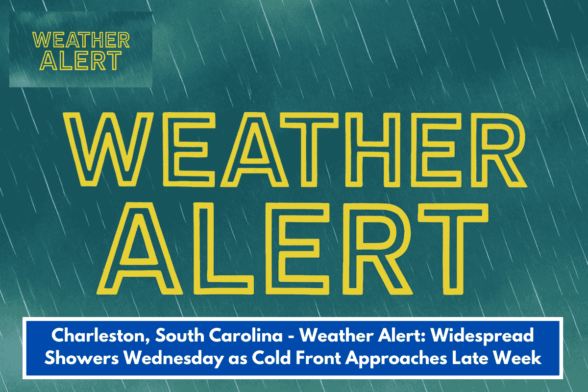
A cold front hits Charleston area midweek with showers Wednesday, then drier and warming up. National Weather Service (NWS) forecast from Mt. Pleasant office—perfect for your hiking plans or Lowcountry errands once it clears.
Daily Breakdown
- Today (Wed, Feb 4): Cloudy, highs 56–62°F. Warmer ahead of front.
- Thursday (Feb 5): Widespread showers, highs 53–63°F, lows 40s°F. Commuter watch—wet roads likely.
- Friday (Feb 6): Cloudy, decreasing rain, highs 45–51°F, lows 32–40°F. Brief cool-down.
- Saturday (Feb 7): Sunny, breezy, highs 52–60°F, lows 26–34°F.
- Sunday (Feb 8): Sunny, less wind, highs 58–67°F, lows 34–40°F. Ideal for trails or festivals.
No severe weather, but breezes pick up Thursday–weekend. Tie this to last week’s pipe tips: Overnight lows near freezing Friday/Saturday mean keep insulation ready. Check NWS Charleston for live radar/updates: weather.gov/chs.
Planning outdoor activities or need trail recs in this forecast?