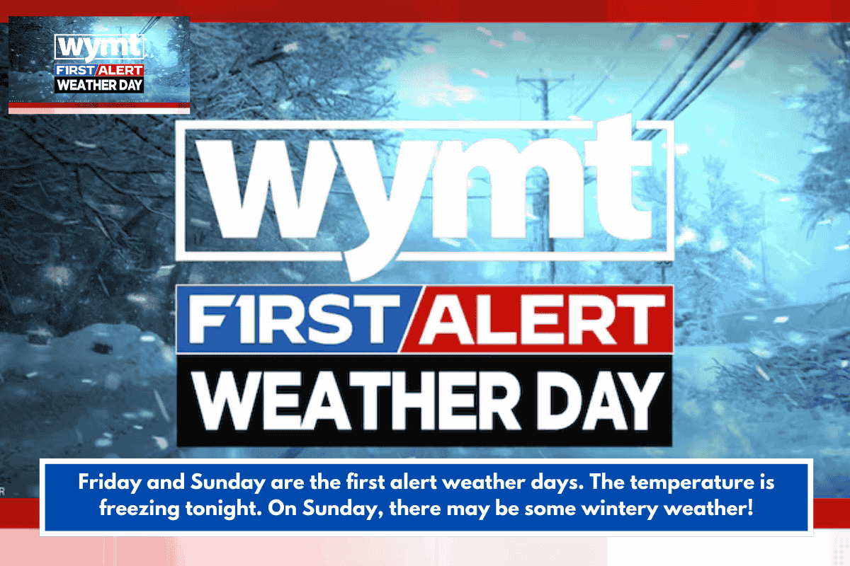
A strong cold front is ushering in Arctic air tonight, dropping lows into the upper teens and low 20s inland across the Charleston area (like inland Berkeley, Dorchester, and Colleton counties), with upper 20s near the coast. This triggers a First Alert Weather Day overnight into Friday morning and a Cold Weather Advisory inland—perfect conditions to protect pipes, pets, and plants from freezing.
Short-Term Forecast Breakdown
Here’s the outlook from WCSC, focused on Charleston, S.C.:
| Day | Conditions | Low/High |
|---|---|---|
| Tonight | Clear and very cold | Low 22° |
| Friday | Sunny and chilly | High 50° |
| Saturday | Partly cloudy, warmer | High 64° |
| Sunday | Showers possible; rain may mix with snowflakes inland (better odds near I-95 corridor) | High 46° |
Ground temps should stay too warm for coastal accumulation, but monitor updates as Sunday’s storm details refine—Southeast winter systems often shift.
Local Impacts and Prep Tips
With your interest in Lowcountry public safety, expect potential shelter activations or road treatments inland. Bundle up for Friday’s chill (feels-like temps could dip lower with wind), and check Charleston County or SCDOT sites for alerts. For hiking trails or outdoor plans, Saturday looks ideal before Sunday’s wetter turn.
Stay safe—any specific county or activity you’re prepping for, like Colleton events?