Thanks for sharing this timely Lowcountry weather update—sounds like a classic mild winter pattern with a quick shower system before warming returns. Current forecasts from the National Weather Service and local sources confirm the details for the Charleston, SC area, aligning closely with your forecast.
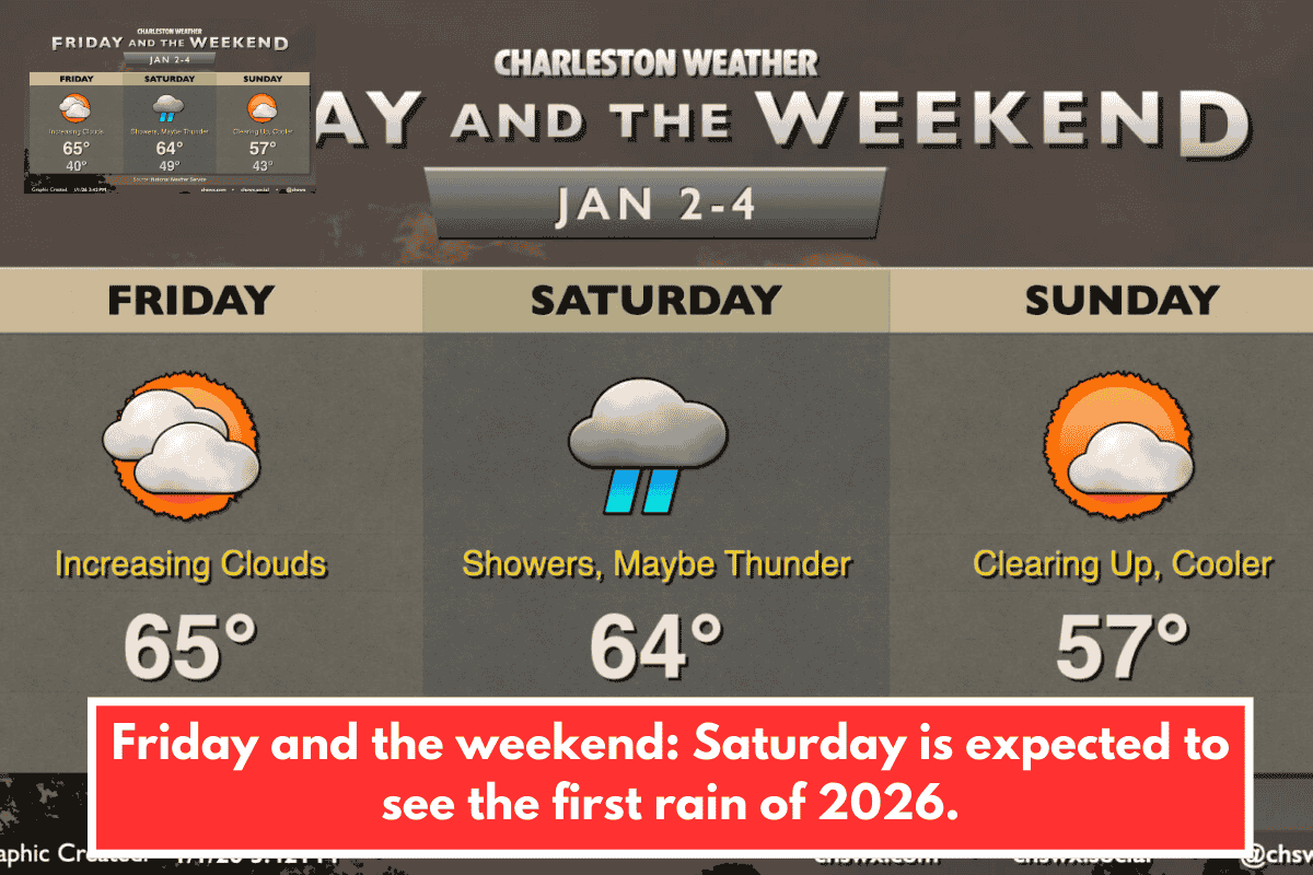
Friday Outlook
Rain-free conditions hold Friday with increasing clouds from developing low pressure west of the region. Lows near 40°F rise to mid-60s afternoons under southwesterly winds and warm air advection.
Saturday Storm Details
Showers arrive Saturday with the low and cold front, peaking late morning through early evening and possible isolated thunderstorms due to wind shear. Instability stays limited locally, keeping severe risks low (higher to the west/southwest), though gusty winds could accompany any storms; expect mid-60s highs after 50°F starts amid clouds and rain.
Sunday Recovery
The front clears overnight Saturday, scattering clouds Sunday morning as cooler, drier air filters in. Lows in the low-to-mid 40s warm to upper 50s afternoons with emerging sunshine.
Extended Warm-Up
Dry weather persists post-front, with above-normal temperatures building into next week—potentially reaching the 70s later on. This rain helps ease ongoing drought concerns in the Lowcountry and Upstate without major flooding threats.