Cold high pressure dominates today through New Year’s, bringing chilly starts and brisk winds despite sunny skies. Winds ease but stay 5-15 mph, dropping feels-like temps. Drier air (20-30% humidity) raises low-end fire risk—exercise caution outdoors. Warmer midweek shift, then rain by weekend won’t fully dent regional drought.
Daily Forecast Breakdown
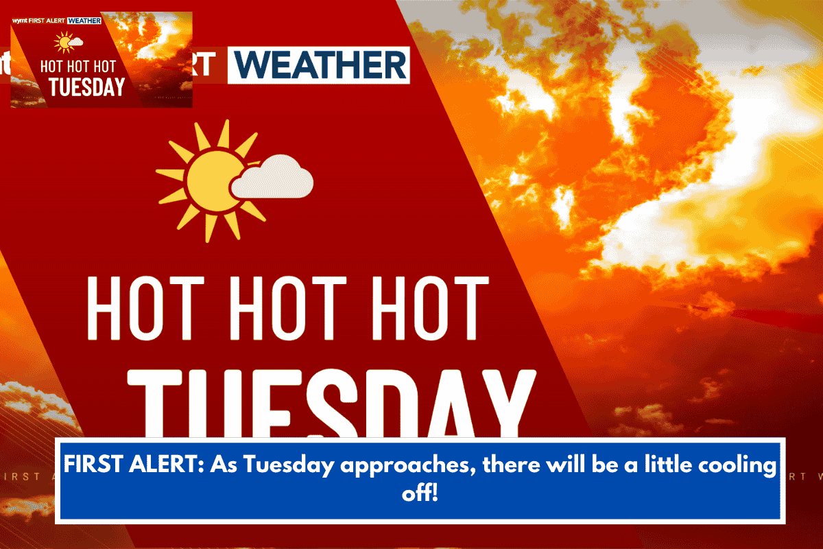
- Tuesday (Dec 30): Chilly morning wind chills in 20s; afternoon highs near 50°F with abundant sun, feels-like in 40s.
- Wednesday (Dec 31, New Year’s Eve): Milder highs upper 50s to low 60s under high pressure; overnight lows 30s-40s.
- Thursday (Jan 1, New Year’s Day): Similar warming trend; highs upper 50s-low 60s, lows 30s-40s (aligns with Coastal Empire trends).
- Friday (Jan 2): Clouds build ahead of rainmaker.
- Saturday (Jan 3): Rain arrives with next cold front; totals near or below 1 inch.
Key Impacts and Tips
Grab that jacket for mornings—wind chills bite despite sun. Fire risk peaks today/evening; avoid sparks or burns. Layer for NYE outdoors as lows recover but evenings cool. Monitor NWS Charleston for fire weather updates or rain tweaks.
| Day | Low (°F) | High (°F) | Conditions |
|---|---|---|---|
| Tue | N/A | ~50 | Sunny, breezy, fire risk |
| Wed | 30s-40s | 58-62 | Milder, sunny |
| Thu | 30s-40s | 58-62 | Continued mild |
| Fri | N/A | N/A | Clouds increasing |
| Sat | N/A | N/A | Rain <1″ |
Comparison to Savannah/WSAV Forecast
Charleston’s outlook syncs closely: Tuesday wind chills upper teens-20s (vs. Savannah’s teens-20s), coldest mornings midweek, weekend rain. Charleston emphasizes fire risk more due to low humidity.
Need details on fire weather alerts, NYE event impacts, or how this stacks against Haryana’s current chill?