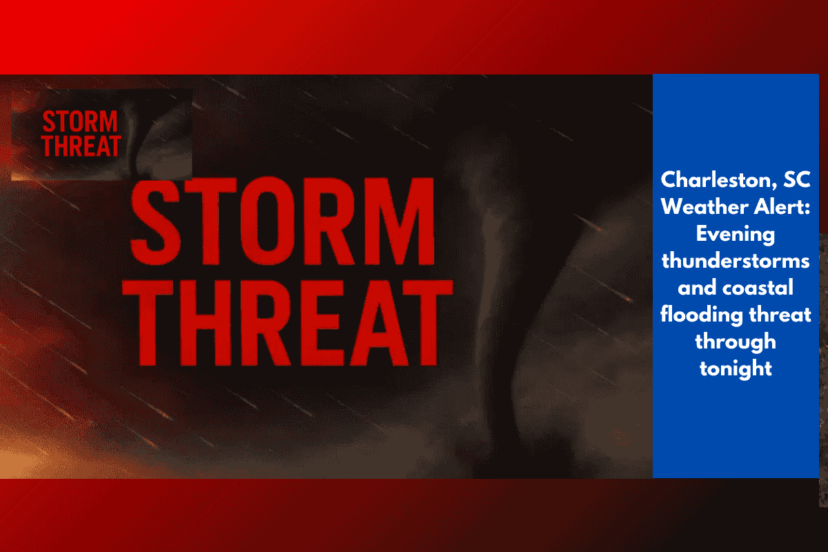
Stormy weather is expected to hit Charleston, South Carolina, this evening, and it could cause serious flooding—especially in areas near Charleston Harbor. With an unusually high tide expected around 8:30 p.m. tonight, even moderate rainfall may lead to waterlogged roads. Combine this with gusty winds, lightning, and heavy rain, and travel could become quite dangerous for everyone.
What’s Causing the Storm?
The National Weather Service in Charleston reports that a weak cold front is moving through the region this afternoon. This front is responsible for the unsettled weather. Storms are likely to continue into the night, and because tides are already running higher than usual, the chances of coastal flooding are even greater—especially during the evening and morning high tides.
Key Weather Risks Tonight
Here’s what residents and travelers in the Charleston area should watch out for:
Heavy rainfall that can quickly flood streets
Strong, gusty winds that can cause damage or knock down trees
Frequent lightning, making outdoor activity unsafe
Power outages, especially if winds damage power lines
Areas Most Likely to Flood
Some parts of Charleston are known to flood easily, especially during high tides. People are being advised to avoid these flood-prone locations:
Downtown Charleston, especially the Battery and Lockwood Drive
Summerville, Mount Pleasant, and North Charleston may also face localized street flooding due to heavy rain
Even if you’re not near the coast, sudden downpours can still flood roads and make driving risky.
What You Should Do
To stay safe during this weather, here are a few smart precautions to take:
Secure outdoor items like furniture, bins, and anything else that can be blown around
Avoid non-essential travel during peak rain or tide hours
Keep your phone charged and follow weather updates from reliable sources
Stay indoors during thunderstorms and lightning
Use caution if driving through standing water—turn around, don’t risk it
More Rain Likely This Week
This stormy weather pattern isn’t going away immediately. Forecasters say above-normal tides will continue into the week, increasing the chance of flooding during both morning and evening high tides. Severe weather warnings will likely remain in effect, and more advisories may be issued as the situation develops.
Charleston is facing a dangerous weather mix tonight, with heavy rain, strong winds, and a very high tide all expected around the same time. That means flooding could hit both coastal and inland areas. If you live in or around Charleston, it’s important to stay updated, avoid risky travel, and follow all safety advice. A little preparation now can go a long way in keeping you safe through the storms.