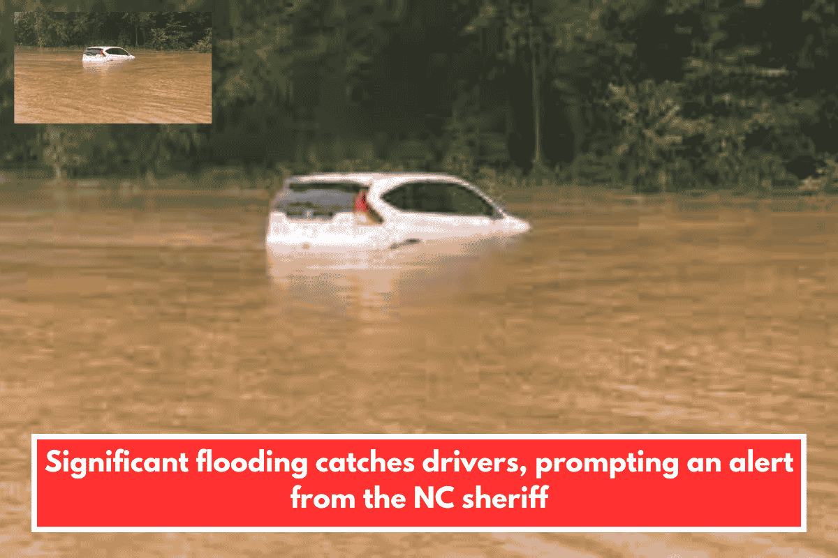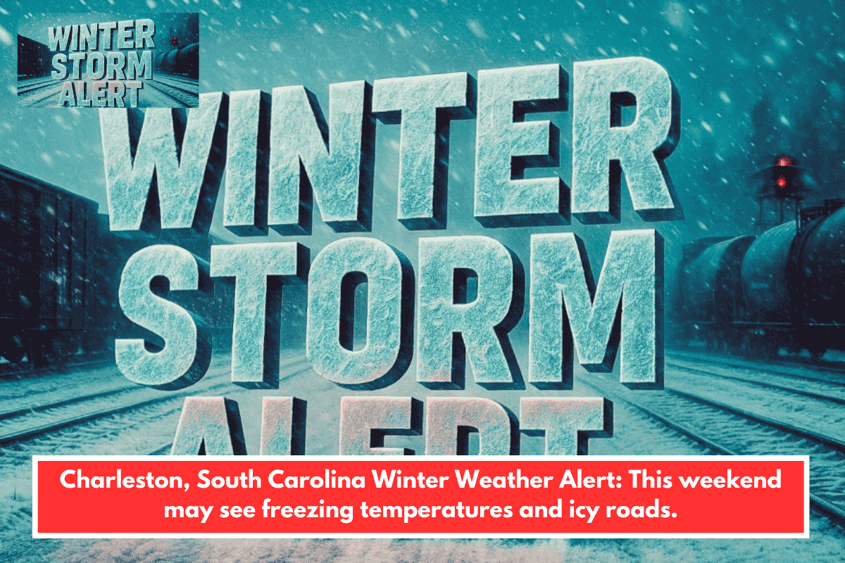
A potential winter weather threat looms for southeast South Carolina and Georgia this weekend as frigid air clashes with a developing coastal low-pressure system. Light precipitation could yield freezing rain or snow, creating icy spots despite low confidence in exact impacts.
Forecast Risks
Extremely cold temperatures, 20-25°F below normal, raise the odds of slick conditions from even minor moisture Saturday night into Sunday. Areas along I-95 near Charleston and Savannah face the highest risk for freezing rain on untreated surfaces like bridges. Wind chills dropping to teens or single digits amplify dangers overnight.
Preparation Steps
- Monitor National Weather Service updates closely for model refinements on track and totals.
- Ready an emergency kit with ice melt, blankets, and flashlight for possible travel disruptions.
- Limit driving, especially early Sunday, if icing warnings escalate; clear vents to avoid CO buildup indoors.