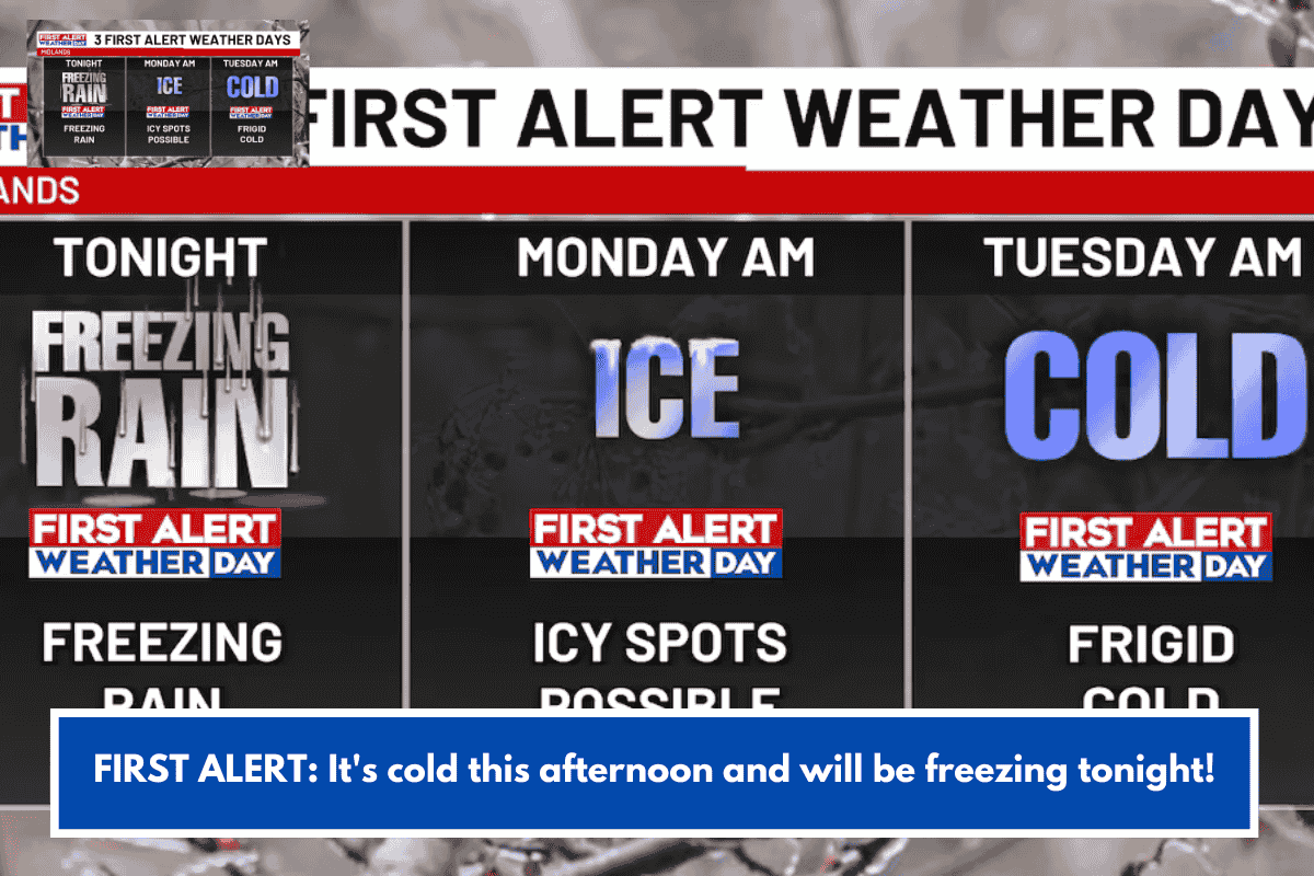
Charleston is bracing for a cold snap with a First Alert Weather Day overnight into Tuesday morning, as arctic air brings teens inland and 20s on the coast. Expect sunny but chilly conditions midweek, turning cloudier with possible wintry showers over the weekend.
Current Conditions
Afternoon features variable cloudiness with highs near 48°F, transitioning to clear nights and dropping lows. Cold air dominates through the week, with another arctic surge expected by Saturday.
Extended Forecast
Impacts
Dress in layers for lows dipping into the 20s, especially coastal areas; prepare for potential slick spots if showers mix with cold. This aligns with broader January patterns of cold fronts and occasional wintry precipitation in the region.