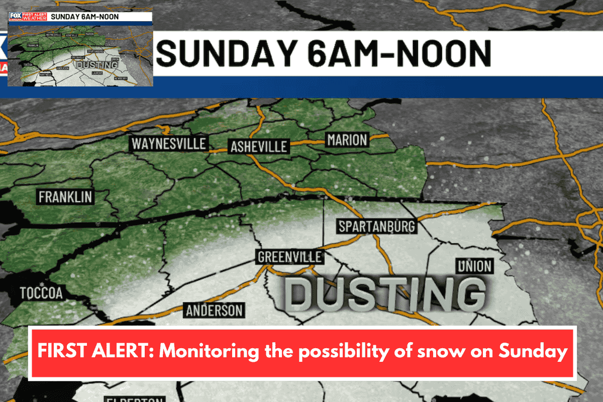
A minor snow event appears possible Sunday morning in parts of the Upstate, particularly along and east of I-85, with spotty flurries most likely in southern counties like Laurens, Greenwood, Abbeville, and Union. Expect temperatures near freezing early (30-32°F), warming to the mid-40s by afternoon, keeping roads too warm for accumulation. Impacts remain minimal, with under 5% chance of an inch or more of snow during the 6 a.m. to noon window.
Key Forecast Details
The stalled cold front positions most precipitation south and east, limiting Upstate chances, though a closer front setup could increase flurries. Downslope winds prevent sticking snow despite near-freezing starts. No travel disruptions or panic needed, as the event stays brief and light.
Extended Outlook
A stronger arctic blast hits early next week, dropping Upstate lows to the 20s and mountain areas to single digits/teens Sunday through Tuesday nights. Highs reach only mid-30s to low-40s on Tuesday amid gusty winds and wind chills below zero. Drier, sunnier conditions follow, with gradual warming late week.