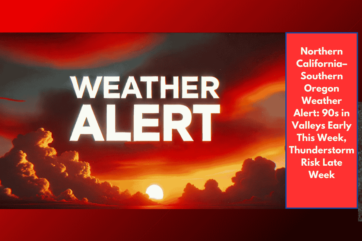
Medford, OR – Residents across southern Oregon and northern California can expect a hot and dry start to the week, with temperatures soaring into the 90s in some valley areas. According to the National Weather Service in Medford, this early fall warm-up will peak on Tuesday, September 16, before slight cooling arrives later in the week.
West side valleys (e.g., Medford, Redding): Highs in the low 90s
East side areas (e.g., Klamath Falls, Alturas): Highs in the upper 70s to low 80s
Overnight lows: Comfortable, ranging from the mid-40s to upper 50s, depending on elevation
Skies will remain mostly clear, with very low humidity—perfect for outdoor activities but potentially challenging for fire-prone regions.
Slight Cooldown, Thunderstorm Risk by Late Week
By Thursday, September 18, temperatures will cool slightly but still stay above seasonal averages. While the dry pattern continues for most areas, a shift in the upper-level wind pattern could bring isolated afternoon and evening thunderstorms on Friday, September 19, particularly in:
Northern California
East of the Cascades (southeast Oregon)
These storms could bring gusty winds and lightning, raising localized fire concerns, especially in dry forested or grassy areas. No severe weather is currently forecast.
Weekly Forecast Overview
| Day | Conditions | Highs (°F) | Rain/Storm Chance |
|---|---|---|---|
| Monday | Sunny, warm | 85–91 | 0% |
| Tuesday | Hottest day, sunny | 88–93 (west valleys) | 0% |
| Wednesday | Dry, slightly cooler | 82–90 | 0% |
| Thursday | Mostly sunny, breezy | 80–87 | <10% |
| Friday | Slight chance of t-storms (PM) | 78–85 | 20–30% (east & NorCal) |
What to Watch For
Fire-prone conditions: Warm, dry, and breezy afternoons—use extra caution with outdoor flames or equipment
Mountain travel: Keep an eye on Friday storm potential in higher elevations and remote areas
Late-week shifts: Monitor local forecasts for updates if thunderstorm chances increase