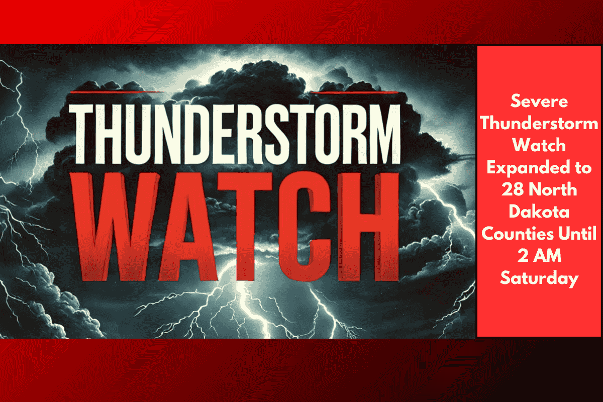
Bismarck, North Dakota – A severe thunderstorm watch has been issued for 28 counties in North Dakota, including major areas like Bismarck, Minot, Williston, and Dickinson, through 2 a.m. Saturday. Strong thunderstorms are expected to bring damaging winds, large hail, and the potential for power outages and road closures as storms intensify overnight.
Storm Coverage and Expected Impacts
According to the National Weather Service in Bismarck, the watch stretches from Bottineau and Ward counties in the north to Adams, Slope, and Stark counties in the southwest. This includes major travel routes like I-94, Highway 83, and US-2, with the highest risks predicted between 10 p.m. and 2 a.m.
Cities such as Mandan, Beulah, Bowman, and Rugby should brace for rapid storm development, sudden downpours, and the possibility of tree or property damage. The severe weather could lead to hazardous conditions on the roads, including reduced visibility and the risk of falling debris.
Safety Precautions and Travel Tips
Emergency management teams are advising residents to secure outdoor items, stay indoors, and limit non-essential travel after dark. It’s important to charge mobile devices and keep flashlights on hand in case of power outages. Drivers are urged to check ND Roads for updates and be cautious, particularly when traveling in rural or low-visibility areas.
This storm system is similar to one that hit last July, which downed power lines and caused significant disruptions across the region.
Stay Informed and Prepared
The severe weather alert remains in effect until 2 a.m. Saturday, with the National Weather Service set to issue updates if conditions worsen or move eastward. Residents are encouraged to stay tuned for the latest advisories throughout the night.