INDIANAPOLIS, INDIANA — Central Indiana is preparing for a week of extreme weather, with thunderstorms likely this evening and dangerously high temperatures expected to hit Indianapolis by Wednesday, July 23rd. As the heat continues to climb, residents should stay alert and take precautions to avoid heat-related illnesses.
Thunderstorms Expected Tonight
The most immediate concern is the potential for scattered thunderstorms across Indianapolis later today, primarily southwest of Interstate 74. While severe storms are not anticipated, localized heavy downpours could make outdoor activities hazardous, especially during the evening hours. Be prepared for sudden rainfall and reduced visibility.
Extreme Heat on the Horizon
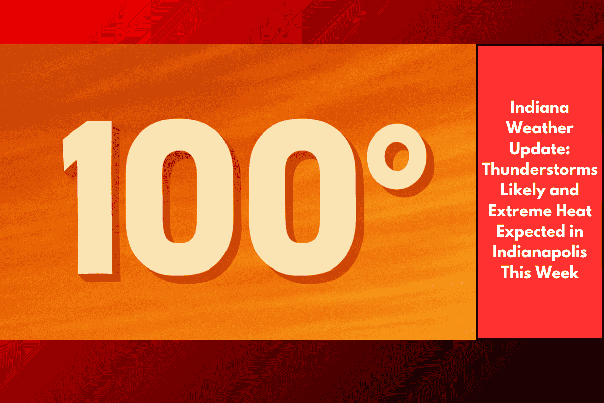
Temperatures will climb steadily over the next few days, with highs reaching into the low 90s by Wednesday, July 23rd. The heat index — which factors in humidity to show how hot it feels outside — is expected to exceed 100°F starting Wednesday. These extreme conditions can increase the risk of heat exhaustion and heatstroke, so it is essential to stay hydrated, avoid prolonged exposure to the sun, and limit outdoor activity, especially during peak heat hours.
Thursday and Friday Weather Outlook
The extreme heat will persist through Thursday, July 24th, with a 20% chance of afternoon thunderstorms. While there may be brief periods of relief, the temperature will remain in the low 90s. On Friday, July 25th, thunderstorms are expected to return, with a higher chance of storms later in the day. This marks the beginning of an unsettled weekend.
Weekend Forecast: Scattered Storms and High Heat
Residents should expect a mix of sun, scattered showers, and thunderstorms over the weekend. Saturday and Sunday, July 26th and 27th, will bring a 60% chance of storms, with highs ranging from the mid-80s to low 90s. The heat wave is expected to continue into next week, so it’s crucial to stay prepared with cooling options like fans, air conditioning, and plenty of water.
Five-Day Forecast for Indianapolis:
Tuesday, July 22: Mostly sunny, high near 86°F, low around 66°F, winds light from the east at 3-6 mph.
Wednesday, July 23: Sunny, high near 90°F, low around 73°F, winds from the south at 5 mph.
Thursday, July 24: Partly cloudy, high near 93°F, low around 75°F, winds from the southwest at 3-6 mph.
Friday, July 25: Chance of thunderstorms late in the day, high near 90°F, low around 72°F.
Saturday, July 26: Mostly sunny, high near 88°F, 60% chance of storms.
Residents of Indianapolis should stay informed and take the necessary steps to protect themselves from the intense heat and potential storms throughout the week.