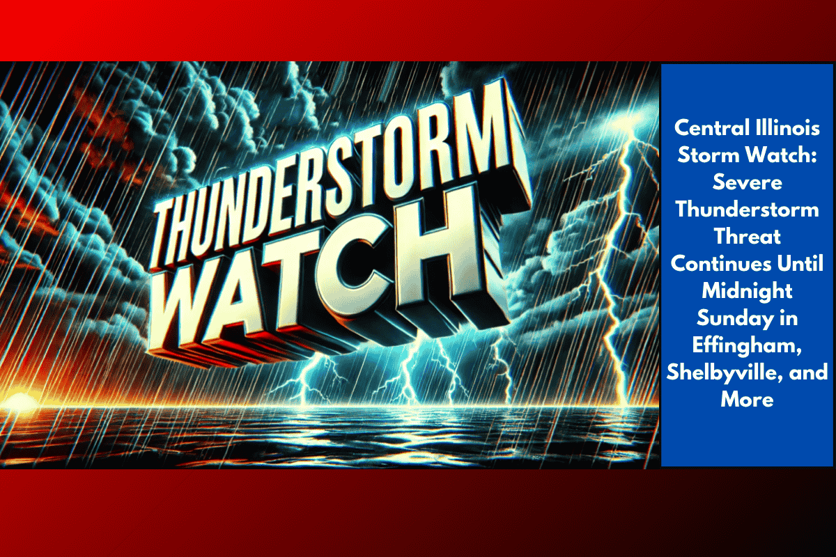
Effingham, IL – Severe thunderstorms are threatening Central and East Central Illinois tonight, with a Severe Thunderstorm Watch in effect for nine counties—including Effingham, Shelby, and Lawrence—until midnight Sunday. Residents from Shelbyville to Lawrenceville could experience strong winds, heavy rain, and the risk of damaging hail through the late evening.
Affected Areas and Conditions
According to the National Weather Service in Lincoln, Severe Thunderstorm Watch 533 remains active for Shelby, Clark, Cumberland, Clay, Crawford, Effingham, Jasper, Lawrence, and Richland counties until 12 a.m. Monday. Cities like Flora, Marshall, Newton, Olney, Robinson, and Greenup are included in the watch area, where storm conditions could quickly intensify.
Travel and Safety Concerns
Travel in the affected areas could become hazardous, particularly on rural highways such as U.S. Route 40 and Illinois Route 33. Emergency managers advise residents to secure loose outdoor items and stay indoors as storms approach. There is a risk of power outages and localized flooding, especially in low-lying or flood-prone areas.
Prepare for Changing Conditions
This is the latest in a series of summer storm threats for Central Illinois, with several communities already experiencing saturated ground from recent rainfall. Residents are encouraged to monitor local weather alerts and be ready to seek shelter if warnings are issued.
Stay Informed
The Severe Thunderstorm Watch will remain in effect until midnight, but additional alerts may be issued if conditions worsen overnight. Stay updated and be prepared for potential changes in weather.