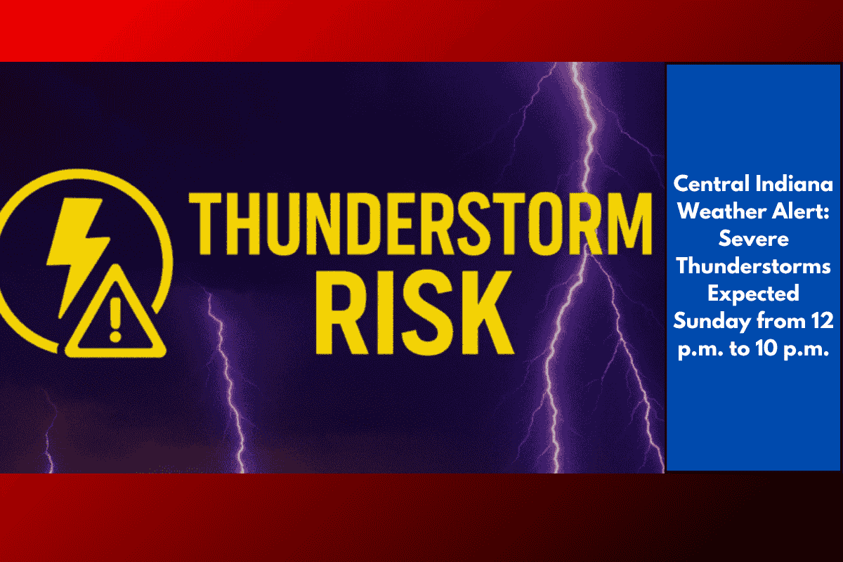
Indianapolis, IN – Severe thunderstorms are predicted to impact Central Indiana on Sunday, with the greatest risk occurring between 12 p.m. and 10 p.m. EDT. Multiple rounds of storms are expected to develop, causing potential hazards including damaging winds, heavy rain, localized flooding, and the possibility of isolated large hail and brief tornadoes, particularly in stronger storm cells.
Expected Impact
According to the National Weather Service, the storms will primarily affect central and southern Indiana, with areas including Indianapolis, Bloomington, and Terre Haute facing wind gusts of up to 60-70 mph. Flash flooding is also possible in certain areas. In regions marked in yellow on the weather map, such as Lafayette and Kokomo, the second-highest risk for severe weather exists, while cities like Muncie and Logansport face a lower risk.
Safety Tips for Travelers
Travelers in the affected regions should prepare for potential road closures and flash floods, especially in urban areas. Be sure to stay informed about weather conditions, avoid driving through flooded roadways, and secure outdoor items that could be swept away by gusty winds.
Keep Updated
Warnings will remain in effect through 10 p.m. EDT, with the potential for additional advisories as the storm system progresses. It is important to keep a weather radio or mobile device nearby for the latest updates and alerts.