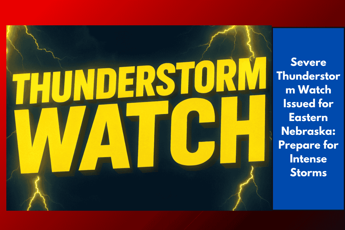
Residents across eastern Nebraska are being urged to prepare for intense thunderstorms expected to bring quarter-size hail, winds gusting up to 70 mph, and frequent lightning. A Severe Thunderstorm Watch is in effect until 3 a.m. Wednesday, with the potential for damaging weather across the region.
Areas Affected by the Severe Thunderstorm Watch
The National Weather Service in Hastings has issued the watch for major cities, including Omaha, Lincoln, York, Blair, and Beatrice. The watch also extends into parts of southeast South Dakota and northwest Iowa, affecting over 1.7 million people, 787 schools, and 77 hospitals. The most significant impacts are expected along major highways, including I-80, I-29, and U.S. 81, where isolated hail and damaging winds could cause disruptions.
Travel Precautions and Safety Measures
Travelers are advised to avoid non-essential driving, especially during the overnight hours. The risk of downed branches or debris on roadways is heightened, particularly in rural areas. Wind gusts of up to 70 mph could cause sudden and hazardous conditions on the roads.
Residents should take steps to ensure their safety, including:
Securing outdoor items that may become projectiles in strong winds.
Charging cell phones to ensure communication in case of power outages.
Knowing the nearest storm shelter and being prepared to take shelter if necessary.
Power Outages and Storm Preparations
The Omaha Public Power District and Lincoln Electric System are on alert for possible power outages due to storm damage. Past storms in the region have caused widespread tree damage and scattered blackouts, and similar conditions are possible tonight. It’s important for residents to stay informed and be ready to act if power is disrupted.
Weather Updates and Potential for Additional Alerts
The Severe Thunderstorm Watch is set to last until 3 a.m. Wednesday. However, additional advisories could be issued if the storms persist or intensify. Residents should stay tuned to local weather updates and be prepared to take action if Severe Thunderstorm Warnings are issued for their area.