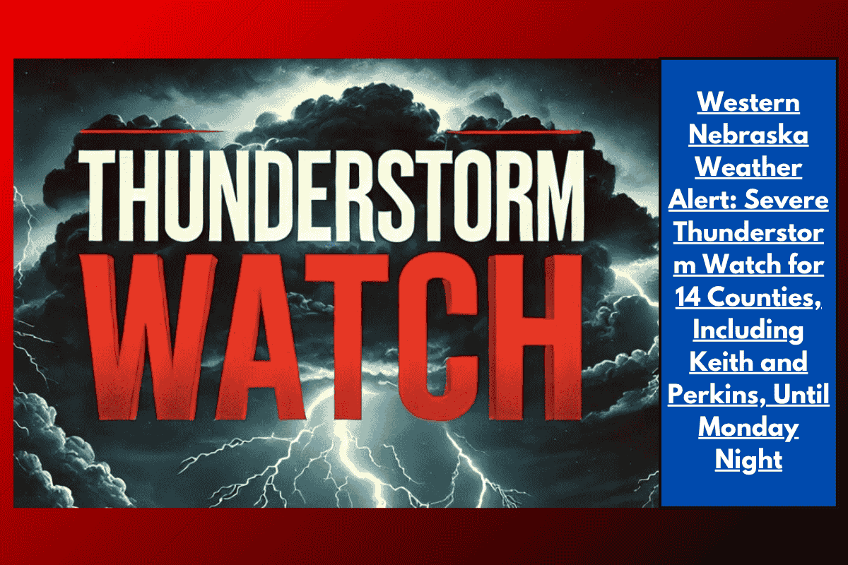
Scottsbluff, Nebraska — A severe thunderstorm watch is in effect for 14 counties across western Nebraska until 9 p.m. MDT Monday, with damaging winds, large hail, and heavy rain expected. The watch, issued by the National Weather Service Storm Prediction Center, warns that residents from Arthur to Scotts Bluff should be prepared for sudden downpours, hail up to one inch, and wind gusts reaching 60 mph.
Affected Counties and Impact
The severe thunderstorm watch includes the following counties:
Arthur
Banner
Chase
Cheyenne
Deuel
Dundy
Garden
Hayes
Hitchcock
Keith
Kimball
Morrill
Perkins
Scotts Bluff
The strongest storms are expected to occur along Interstate 80 and US Highway 26, making travel potentially hazardous. Heavy rainfall, large hail, and strong winds could impact both driving conditions and outdoor activities.
Safety Precautions and Recommendations
Local emergency management agencies are advising residents to take the following precautions:
Avoid unnecessary travel during the storms.
Seek sturdy shelter if severe weather warnings are issued.
Secure outdoor items that could be damaged by strong winds.
Charge electronic devices in case of power outages.
Monitor local alerts for rapidly changing conditions and further updates.
Storm History and Future Alerts
This is the largest severe weather watch for the Nebraska Panhandle so far this summer, with the potential for storms similar to those seen during the late-June 2022 storm outbreak. If the storms strengthen or expand, additional watches or warnings may be issued.