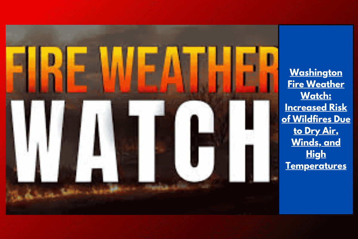
A Fire Weather Watch is in effect across eastern and central Washington from 1 p.m. on Tuesday to 8 p.m. on Wednesday due to a combination of strong winds, dry air, and high temperatures. This watch, issued by the National Weather Service in Spokane, includes areas like the Okanogan Valley, Waterville Plateau, and regions extending from the Palouse to the Snake River. The weather conditions could make wildfires spread rapidly, and residents are advised to take caution.
Wind and Dry Conditions Raise Fire Danger
Starting Tuesday afternoon, temperatures are expected to rise while winds increase, causing fire danger to soar. Wind gusts could reach up to 40 mph on Wednesday, which will significantly raise the wildfire risk in the region. Humidity levels will also drop, with values falling as low as 8% by Tuesday afternoon, creating a perfect setup for wildfires to spark and spread quickly. These conditions are expected to worsen on Wednesday, as a dry cold front pushes winds across the area with sustained speeds of 20 to 30 mph.
Areas at Risk
Several communities are at heightened risk for wildfires during this period. Cities like Spokane, Pullman, Moses Lake, Wenatchee, and Omak could experience these dangerous conditions. Additionally, the wind will be particularly strong on the foothills of the Cascades and the Waterville Plateau, where gusts could reach 30 mph on Tuesday before reaching stronger speeds on Wednesday. This combination of dry air and strong winds makes it a critical time for fire safety.
Fire Safety and Precautions
With the risk of wildfires growing, fire officials have urged residents to take several precautions to prevent any spark from starting a fire. This includes securing trailer chains to prevent sparks from dragging, avoiding outdoor burning, and postponing yard work that could involve machinery or activities that might cause sparks. This is particularly important in areas with dried grass and ongoing drought conditions, which could contribute to the rapid spread of any fire that starts.
What to Expect and Future Updates
If the situation worsens, the Fire Weather Watch could be upgraded to a Red Flag Warning, indicating even more dangerous fire conditions. It is important for residents to stay updated with local news and weather reports through Wednesday evening for the latest developments and safety guidelines.
As of now, the Fire Weather Watch remains in effect, and everyone in the area should remain vigilant and take necessary precautions to stay safe.