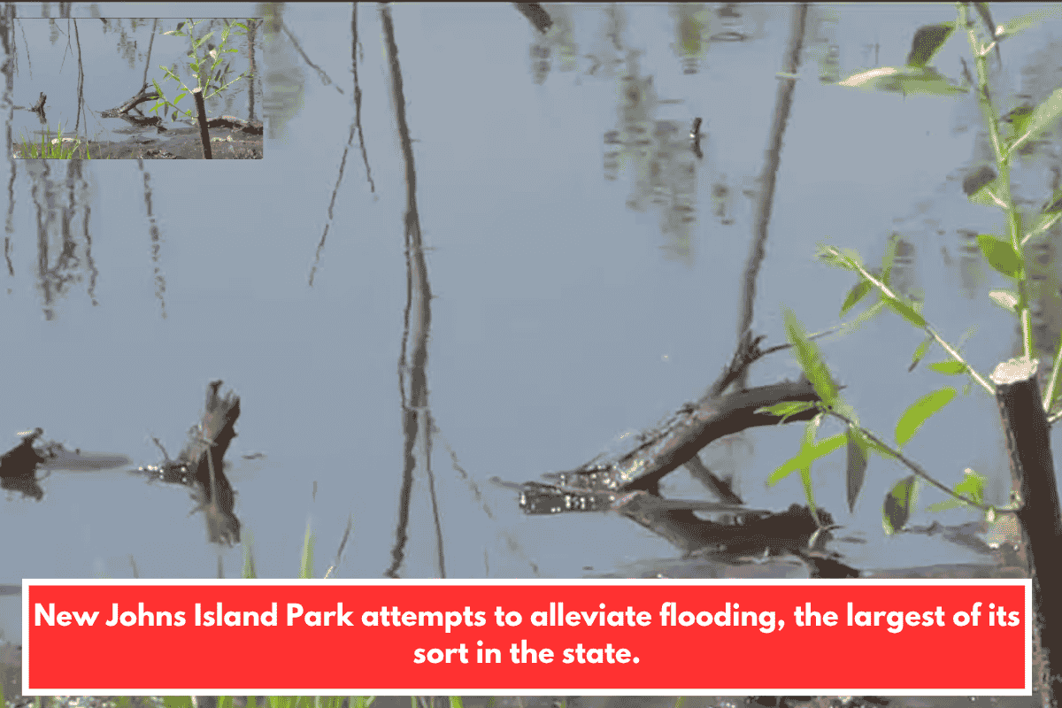
The City of Charleston has opened the Dale Morris Ecological Park, a 19.4‑acre green stormwater facility on Johns Island designed to reduce chronic flooding for more than 3,400 residents and roughly 1,700 homes in the low‑lying Barberry Woods area. The park is the largest engineered‑wetlands project of its kind in South Carolina.
How the park fights flooding
The park uses engineered wetlands as an overflow outlet to hold and slowly release stormwater, reducing how long standing water blocks neighborhood roads during heavy rains or hurricanes. City officials say the design should limit flooding in the area to under eight hours during a 100‑year storm, while also improving water quality.
The project is part of the broader $5.8 million Barberry Woods Drainage Improvement effort, which targets the drainage basin just north of Maybank Highway, near Hickory Knoll Way. That corridor has only a few main access points, so when water backs up, it can cut off the neighborhood from emergency vehicles, utilities, and transportation.
Why this matters for Johns Island
Flooding problems in this part of Johns Island were first documented around 2005, when undersized pipes and runoff from new development meant water simply could not drain quickly enough. Now, data from First Street shows that about 52 percent of Johns Island’s properties (around 7,265 homes) face significant flood risk over the next 30 years.
Named after the late Dale Morris, the city’s former chief resilience officer, the park reflects a “nature‑based solution.” Environmental leaders like Stephanie Robinson of the Coastal Conservation League say using wetlands instead of only concrete pipes or pumps is a more holistic, resilient approach that lets natural systems absorb rain where urban growth has already paved around them.