Isle of Palms, SC, faces a unique challenge blending coastal erosion fixes with Civil War shipwrecks offshore, as the Union Navy’s old Stone Fleet still influences modern beach renourishment plans.
Historic Blockade Wrecks
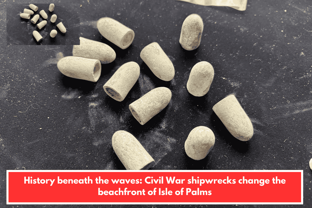
Over a mile out in murky Atlantic waters lie remnants of scuttled whaling/merchant ships sunk 1861-62 to choke Charleston’s harbor—First Fleet in main channels, Second off today’s Isle of Palms. Blockade runners like Georgiana (chased/aground) and Mary Bowers (wrecked atop it) litter the seafloor, forming “X marks the spot” on sonar. Artifacts (bullets, ceramics, bones) archived at USC’s archaeology lab; state underwater archaeologist James Spirek calls them irreplaceable.
Erosion vs. Preservation
Shoreline loss threatens homes/infrastructure; $30M U.S. Army Corps/city project this summer dredges compatible offshore sand to replenish beaches. Prime borrow sites near wrecks—avoided via buffer zones around known sites/magnetic anomalies to prevent sediment scour exposing fragile hulls. Federal law mandates surveys; engineers like Steven Traynum prioritize matching native sand grain/color without dredging artifacts.
Smart balance—Civil War “blockade” persists 160+ years later, safeguarding history amid Lowcountry beach needs. Fascinating tie to your SC interests!