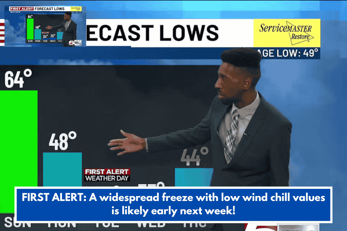
Charleston, South Carolina – A strong cold front is forecast to sweep over the Lowcountry on Sunday night, bringing the coldest weather of the season thus far! A First Alert Weather Day has been issued for Tuesday morning due to the danger of widespread freezing and extremely low wind chill values.
Ahead of the aforementioned front, temperatures will remain moderate tonight under a partly to mostly cloudy sky. As a complex of thunderstorms moves eastward out of the Midlands, communities close and west of I-95 may see an isolated shower or thunderstorm. Temperatures are expected to linger in the 60s until early Sunday morning.
We’ll get one more warm day on Sunday, with afternoon temperatures returning to the mid 70s and lower 80s. Similar to tonight, a few passing showers – and possibly a thunderstorm or two – cannot be ruled out, but rain chances will fade before midnight.
Monday and Tuesday should be the coldest days of the forthcoming work week, with temperatures ranging from 10 to 20 degrees below average. High temperatures on both days are expected to be in the low to mid-50s.
Our first widespread freeze of the season is expected to occur Monday night and Tuesday early. Morning temperatures should dip into the mid to upper 20s inland (low to mid 30s near the coast), which is very close to our daily record low. The Tuesday morning commute will feel significantly cooler due to a strong northwest wind; wind chill values may drop as low as the upper teens and 20s.
TONIGHT: Mostly Cloudy. Lows: 60s.
SUNDAY: Sun & Clouds. A Few Evening Showers. High 81, Low 48.
MONDAY: Mainly Sunny. Breezy. High 56, Low 34 (Upper 20s Inland).
TUESDAY – FIRST ALERT WEATHER DAY: Morning Freeze. Mainly Sunny. High 53, Low 35.
WEDNESDAY: Sunny Sky. Breezy. High 64, Low 44.