Charleston, South Carolina – As the work week comes to a close, high pressure will keep the sun shining and the temperatures bearable!
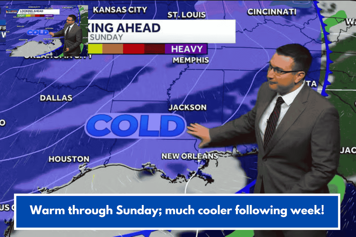
Similar to Thursday, Friday afternoon temperatures will be in the mid to upper 70s, which is about 5° warmer than typical for early November. Temperatures are expected to rise to around 80° on Saturday and Sunday as a powerful cold front approaches the Lowcountry. This will result in an increase in clouds and the possibility of a few scattered showers both days this weekend.
The cold front will pass offshore Sunday night, resulting in a significant drop in temperatures early next week. On Monday and Tuesday, daytime temperatures will only reach the 50s. Morning lows will be near freezing Tuesday morning, with the possibility of widespread frost – and a high risk of freezing – in most inland regions.
COASTAL FLOODING: Elevated astronomical tides, along with a light onshore breeze, will cause at least isolated cases of seawater inundation during the Friday morning commute. Minor coastal flooding is expected to occur between 7 and 11 a.m. on Friday. No additional coastal flooding is forecast after Friday.
TONIGHT: Mostly Clear. Low 54.
FRIDAY: Mainly Sunny. High 79, Low 60.
SATURDAY: Partly Cloudy. Small Rain Chance. High 79, Low 62.
SUNDAY: Sun & Clouds. Small Rain Chance. High 79, Low 48.
MONDAY: Colder. Decreasing Clouds. High 56, Low 33.