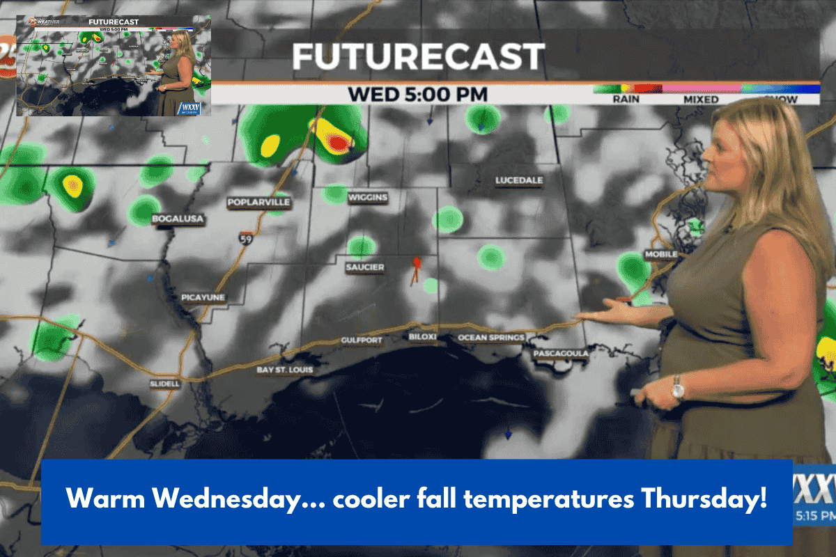
Charleston, South Carolina – A strong cold front will pass across the area Wednesday night, bringing our next best chance of rain and a significant drop in temperatures for the rest of the week.
Before we reach our next cold front, a coastal disturbance will bring a wave of light rain showers that will fade throughout the night. Cloudy skies will clear early today, allowing for some sunlight and temperatures to rise into the low to mid 80s. Patchy fog is anticipated later tonight, with some areas seeing restricted visibility early Wednesday morning. Wednesday will be the driest day of the work week, with a low risk of rain and plenty of sunshine. Temperatures will peak in the mid to upper 80s.
A cold front will approach our area Wednesday evening, increasing the possibility of showers and storms after sunset. The rain chances will be highest through Thursday morning as the front moves through, the breeze increases up, and temperatures begin to fall. Thursday’s highs will only reach the low 70s, which is more than 15 degrees cooler than Wednesday.
We’ll keep an eye out for a low-pressure system that’s likely to form along this cold front offshore. Depending on how this storm moves, we may see an increase in rain chances by the end of the week and weekend. We will keep you updated!
TROPIC: Tropical Storm Jerry is expected to become a hurricane, but the good news is that it will remain out at sea due to a trough of low pressure approaching off the east coast this weekend.
Tonight: A few showers are possible. Patchy fog. Low 64.
WEDNESDAY: Partly cloudy. Mainly dry. High 87.
THURSDAY: Cloudy and breezy. Scattered AM Rain. High 71.
FRIDAY: Sun and Clouds. A few showers are possible. High 74.
SATURDAY: Partly cloudy. Mainly dry. High 75.
SUNDAY: Partly cloudy. High 76.