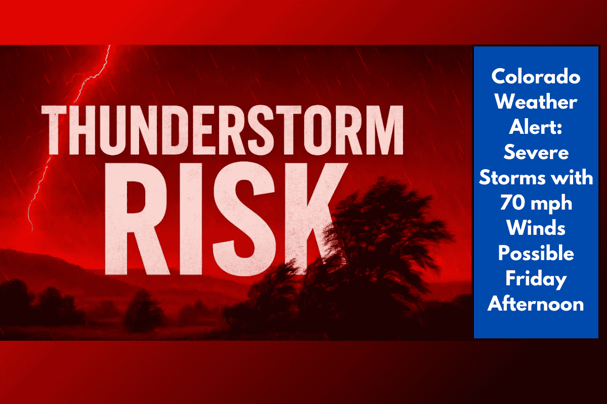
Central Colorado residents should brace for a potentially dangerous afternoon of severe weather. According to the National Weather Service (NWS) in Pueblo, strong thunderstorms are expected to develop between 2 p.m. and 8 p.m. Friday, bringing the risk of damaging winds, heavy rain, hail, and localized flash flooding.
When and Where the Storms Will Hit
The highest storm risk is expected during the late afternoon into early evening, especially in and around:
Pikes Peak region
Areas north of Highway 50
El Paso County, including Colorado Springs, Monument, and surrounding communities
These areas could experience the worst impacts, including wind gusts up to 70 mph and hail up to 1 inch in diameter. Localized flash flooding is also a serious concern, particularly in low-lying areas and near small creeks.
Storm Hazards to Watch Out For
Here’s a breakdown of what’s possible:
Winds: Gusts between 60 to 70 mph, strong enough to knock down tree branches and unsecured items
Hail: Up to 1 inch in diameter — enough to cause minor vehicle and roof damage
Rain: Heavy downpours may lead to flash flooding, especially in El Paso County
Driving conditions: Rapidly changing weather may create dangerous roads during the evening commute
If you live in the affected areas or plan to travel along I-25 or through rural roads near Colorado Springs and Monument, use extra caution, and avoid driving through flooded streets.
Safety and Preparedness Tips
As storms develop, residents are strongly urged to:
Secure outdoor items like patio furniture, umbrellas, and trash bins
Charge phones and backup batteries in case of power outages
Avoid low-lying areas and creeks prone to flash flooding
Delay unnecessary travel during the most active storm hours
Monitor local weather alerts and listen to official instructions from emergency services
Even if skies are clear early in the day, storm conditions can develop rapidly, especially in higher elevation zones.
Storm Timeline for Friday (Estimated):
| Time | Expected Conditions |
|---|---|
| 2–4 PM | Isolated storms begin forming north of Hwy 50 |
| 4–6 PM | Strong storms move toward Colorado Springs & I-25 |
| 6–8 PM | Peak storm intensity; damaging winds and hail likely |
| After 8 PM | Storms begin to weaken and shift eastward |
Severe thunderstorms are likely across central Colorado this Friday afternoon, with the greatest risk focused between 2 p.m. and 8 p.m.. With wind gusts reaching 70 mph, hail, and flash flooding, it’s crucial for residents in the Pikes Peak and El Paso County areas to stay alert and take precautions. Have a safety plan ready, limit travel during peak storm hours, and stay tuned to local weather updates throughout the day.