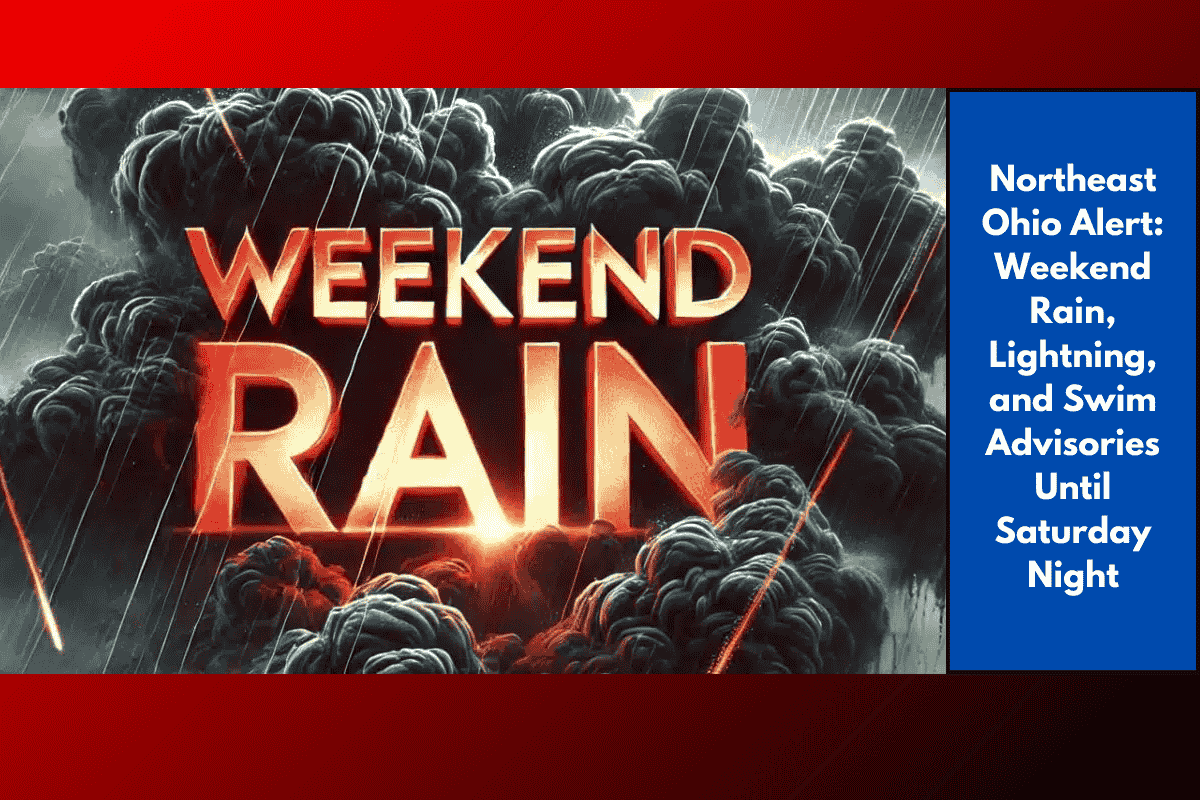
Residents of Northeast Ohio, including Cleveland, are preparing for stormy weather this weekend. Scattered thunderstorms will bring lightning, heavy downpours, and dangerous swimming conditions along Lake Erie’s shoreline. Here’s what you need to know.
Storms and Flooding Threats This Saturday
The National Weather Service in Cleveland forecasts scattered thunderstorms after 3 p.m. Saturday, with a 60% chance of rain through the evening. Some storms could bring:
Gusty winds
Heavy rainfall, especially in urban areas like downtown Cleveland and Lakewood
Brief flooding in low-lying areas
Rainfall totals are expected to remain under a tenth of an inch, but some stronger storms could exceed this.
Beach Hazards and Swimming Advisories
A Beach Hazards Statement has been issued for Lake Erie, lasting through 8 p.m. Saturday. Strong currents and waves near breakwalls and piers will create dangerous conditions for swimmers and boaters. The advisory highlights popular spots like Edgewater Park and Mentor Headlands, urging extreme caution for anyone near the water.
Relief Expected on Sunday
By Sunday, expect a break from the storms with drier, sunnier skies and highs near 78°F. However, unsettled weather will return by Tuesday night into Wednesday, bringing another round of storms and possible lightning for the region.
Five-Day Forecast for Cleveland, Ohio
Sunday: Mostly sunny, high 78°F
Monday: Mostly sunny, high 84°F
Tuesday: Chance of evening storms, high 84°F
Wednesday: Showers and storms likely, high 81°F
Thursday: Mostly sunny, high 79°F
Northeast Ohio residents, especially those near the Lake Erie shoreline, should remain cautious on Saturday due to storms, lightning, and dangerous swimming conditions. Keep an eye on the weather for updates, and be sure to stay safe with the current weather and beach hazard advisories in place.