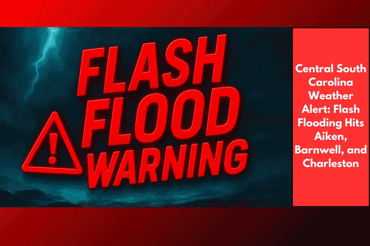
Heavy thunderstorms are causing dangerous flash flooding across central and southeastern South Carolina this Saturday afternoon, prompting urgent warnings from the National Weather Service (NWS). Communities in Aiken, Barnwell, and Charleston counties are being hit hard, with water covering roads, flooding neighborhoods, and making travel extremely dangerous.
Flash Flood Warnings in Effect Until 3:15 p.m.
As of early afternoon, radar estimates show that 1 to 3 inches of rain have already fallen across several areas, with another 1 to 3 inches still possible before storms move out. Flash flooding is already happening or expected very soon in low-lying areas, especially near rivers, creeks, and drainage systems.
Flooding Along Major Highways in Central South Carolina
Drivers on major routes like Interstate 20 and I-520 should be especially cautious, with flooded lanes reported in Aiken and Barnwell counties. Trouble spots include:
Graniteville
New Ellenton
Barnwell
Clearwater and Belvedere neighborhoods
Water is pooling on roads, and poor drainage is making conditions worse. Even short bursts of heavy rain are overwhelming street-level runoff systems.
Lowcountry Cities Facing Serious Flooding
In the Charleston area, residents in Mount Pleasant, Downtown Charleston, Daniel Island, and West Ashley are being urged to stay home and off the roads. Several intersections are underwater, and flooding is also a concern for Johns Island and Sullivan’s Island, where stalled storms are making the situation worse.
What You Should Do Right Now
If you’re in a flood-prone area or already seeing water rise:
Do not drive through flooded roads — turn around, don’t drown
Avoid underpasses and low bridges, which can flood quickly
Move to higher ground immediately if water is approaching
Keep kids and pets indoors and away from floodwaters
Have a backup power source ready in case of outages
Weather Outlook for the Rest of the Day
Storms are expected to linger into the late afternoon, with flash flood warnings currently active until at least 3:15 p.m. However, additional alerts may be issued if the storms don’t move out of the area soon. Rainfall totals could exceed 4 inches in localized spots by the end of the day.
Summary of Key Impact Areas:
| Region | Issues Reported | Roads Affected |
|---|---|---|
| Aiken County | Flooded streets, poor drainage in suburbs | I-20, I-520 |
| Barnwell County | Standing water, slow-moving storms | New Ellenton area |
| Charleston County | Flooded intersections, urban flooding | Downtown, Mt. Pleasant, West Ashley |
With dangerous flooding already underway and more rain on the way, residents of central and southeastern South Carolina need to remain cautious and avoid all unnecessary travel. Conditions are expected to remain hazardous through the afternoon, especially along I-20 and I-520, and in urban parts of Charleston County. Stay updated through local emergency alerts and the National Weather Service, and don’t take risks with rising water.