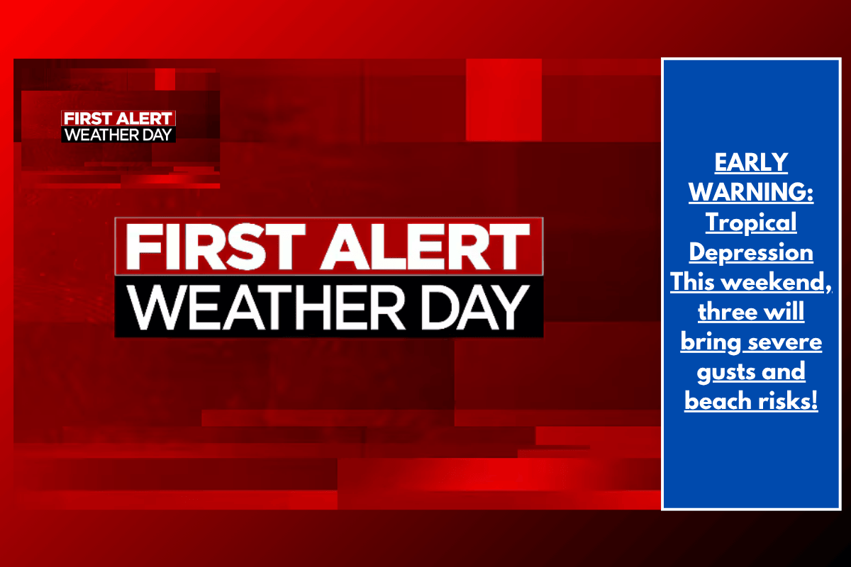
Tropical Depression Three, which formed off the Lowcountry coast, is set to bring potentially dangerous weather conditions to the region this weekend. A FIRST ALERT WEATHER DAY has been issued, with concerns about rough beach conditions, gusty winds, and localized flooding. Here’s what you can expect as the storm tracks toward the area.
Weather Overview
Tonight, most areas will remain relatively calm as Tropical Depression Three slowly organizes to the south. However, cloud cover will increase overnight, and a few showers are expected, particularly along the coast, before sunrise Saturday. Lows tonight will drop into the 70s.
Saturday: Increased Rain and Wind
By midday Saturday, rain coverage will pick up, with the heaviest downpours likely to occur between late Saturday evening and early Sunday morning. Winds will gradually increase, reaching 15-25 MPH with gusts up to 35 MPH near the coast. Tropical storm-force gusts (39+ MPH) are also possible in some coastal areas as the storm makes landfall between 12:00 AM and 8:00 AM Sunday.
Sunday: Continued Showers and Breezy Conditions
On Sunday, scattered rain and storms will persist throughout the day, though conditions will slowly improve. Winds will remain breezy, and temperatures will stay in the mid to upper 80s. The rain should start to taper off, but be prepared for lingering showers before the weather clears up later in the day.
Rip Currents: Stay Out of the Water
Due to the developing storm and persistent onshore flow, a high rip current risk is in effect starting Saturday. These dangerous currents could create life-threatening conditions for beachgoers. It’s crucial to avoid entering the water during this period.
Forecast Summary:
Tonight: Partial cloudiness, becoming breezy late. Low around 72°F.
Saturday (FIRST ALERT WEATHER DAY): Partly sunny and breezy, scattered rain and storms. High near 88°F, Low near 74°F.
Sunday (FIRST ALERT WEATHER DAY): Partly sunny and breezy early, scattered rain and storms. High near 87°F, Low near 75°F.
Monday: Sun and clouds, with rain and storms possible. High near 91°F, Low near 76°F.
Tuesday: Sun and clouds, mainly dry. High near 95°F, Low near 76°F.
Wednesday: Sun and clouds, mainly dry. High near 95°F, Low near 75°F.
The approach of Tropical Depression Three brings significant weather concerns to the Lowcountry, especially for beachgoers, as high rip currents and gusty winds are expected. Keep updated by following the Live 5 Weather app for the latest information, and stay safe during this First Alert Weather Day.