The weather in Myrtle Beach and nearby areas is bringing a mix of cooler temperatures, dry conditions, and increased fire risk. While Sunday offers a slight break from the heat, ongoing drought conditions remain a concern for the region.
Cooler Sunday with Clouds and Light Rain Chance
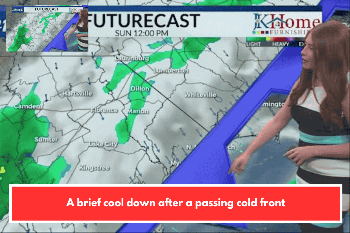
Residents in Myrtle Beach can expect slightly cooler weather compared to Saturday, with daytime temperatures reaching the mid to upper 70s.
The sky will stay partly to mostly cloudy, and a cold front moving through the area may bring a small chance of isolated showers. The best chances of rain are expected in:
- Western Pee Dee region
- Border belt areas
- Coastal locations
However, most places are likely to remain dry.
Fire Danger Remains High
Despite the cooler temperatures, conditions are still risky due to:
- Gusty winds
- Low humidity levels
- Ongoing drought
These factors are increasing the chances of wildfires across the region. Officials have continued burn bans in both North and South Carolina to prevent fire outbreaks.
Cool Nights Ahead
Temperatures on Sunday night will drop into the mid to upper 40s, making for a cooler and comfortable evening.
Start of the Week: Cool Then Warmer
The beginning of the work week will remain on the cooler side, with daytime highs in the low 70s. Overnight temperatures will stay:
- Mid to upper 40s inland
- Around 50 degrees near the coast
Conditions will stay sunny but breezy, which continues to support high fire risk.
Mid-Week Heat Returns
By mid-week, temperatures will rise again:
- Around 80°F near the coast
- Upper 80s inland
Rain chances will remain low, which means dry conditions and fire danger will continue.
Rain Chances Next Weekend
There is a slight chance of rain returning next weekend, which could help ease dry conditions a bit. However, it may not be enough to fully reduce the drought impact.