This forecast from WCSC paints a picture of a warm weekend transitioning to cooler conditions next week, typical for mid-January in the Lowcountry. A cold front sliding in Saturday night introduces a slight shift, but nothing extreme—no major storms or disruptions expected for local events or outdoor plans.
Key Details
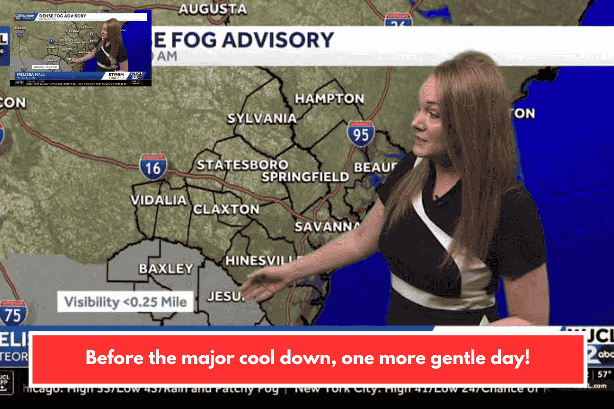
- Tonight: Patchy fog possible by morning under variable clouds. Low around 57°F—mild enough for evening walks.
- Saturday (Jan 10): Morning fog clearing to sun and clouds. High near 78°F—perfect for hiking trails like those at James Island County Park or hitting up Folly Beach.
- Sunday (Jan 11): Brief early rain chance (low odds), then sun and clouds. High in the low-mid 60s°F—still decent for community events or dining outdoors.
- Monday (Jan 12): Mostly sunny but chilly. High 54°F, with morning temps near freezing—bundle up for any early commutes or municipal meetings.
If you’re planning around local news like city council updates or heritage events, Saturday looks ideal before the cooldown. Stay safe with fog—reduce speed if driving. Got plans this weekend, or need tips on nearby spots to enjoy the warm spell?