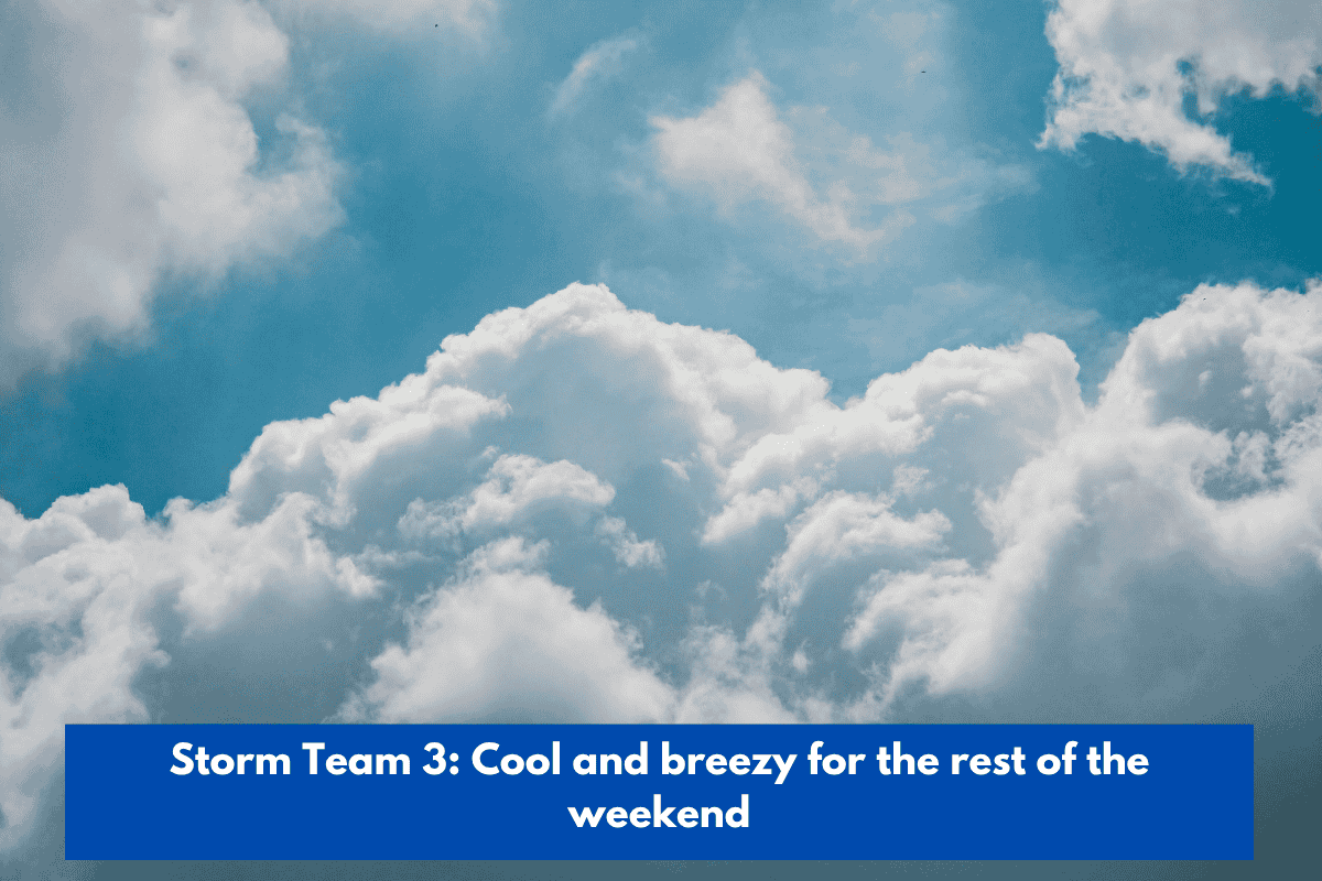
The cool and breezy weather will continue through the weekend, with intermittent rain.
A low pressure system centered to our east contributed to a soggy weather pattern in some areas. The majority of the rain fell in the Coastal Empire and Lowcountry north of I-16, with some areas receiving more than an inch.
Rain is expected tonight through midday Sunday as the coastal low’s wraparound moisture moves through the area. Expect light rain at times, but there will be no washouts.
Cool temperatures and breezy conditions persisted on Sunday, with mostly cloudy skies and northwest winds. Rain is out of the picture by late Sunday, as dry air settles in for the week.
Monday begins the string of beautiful days with partly cloudy skies and warmer temperatures in the afternoon. The rest of the week will see mornings in the 50s and 60s, with mostly sunny skies helping temperatures rise into the upper 70s and lower 80s. A strengthening cold front arrives by Wednesday, keeping humidity at bay.
Tracking the Tropics
Tropical Storm Jerry has dissipated as of the National Hurricane Center’s 5 p.m. advisory. The system no longer has closed circulation, so it is no longer classified as a tropical system.
A tropical wave located several hundred miles south-southwest of the Cabo Verde Islands has a 40% chance of becoming a depression or named storm. This system will turn north, well east of the Caribbean, and poses no threat to land.
There are no tropical threats to the Coastal Empire or Lowcountry at this time.