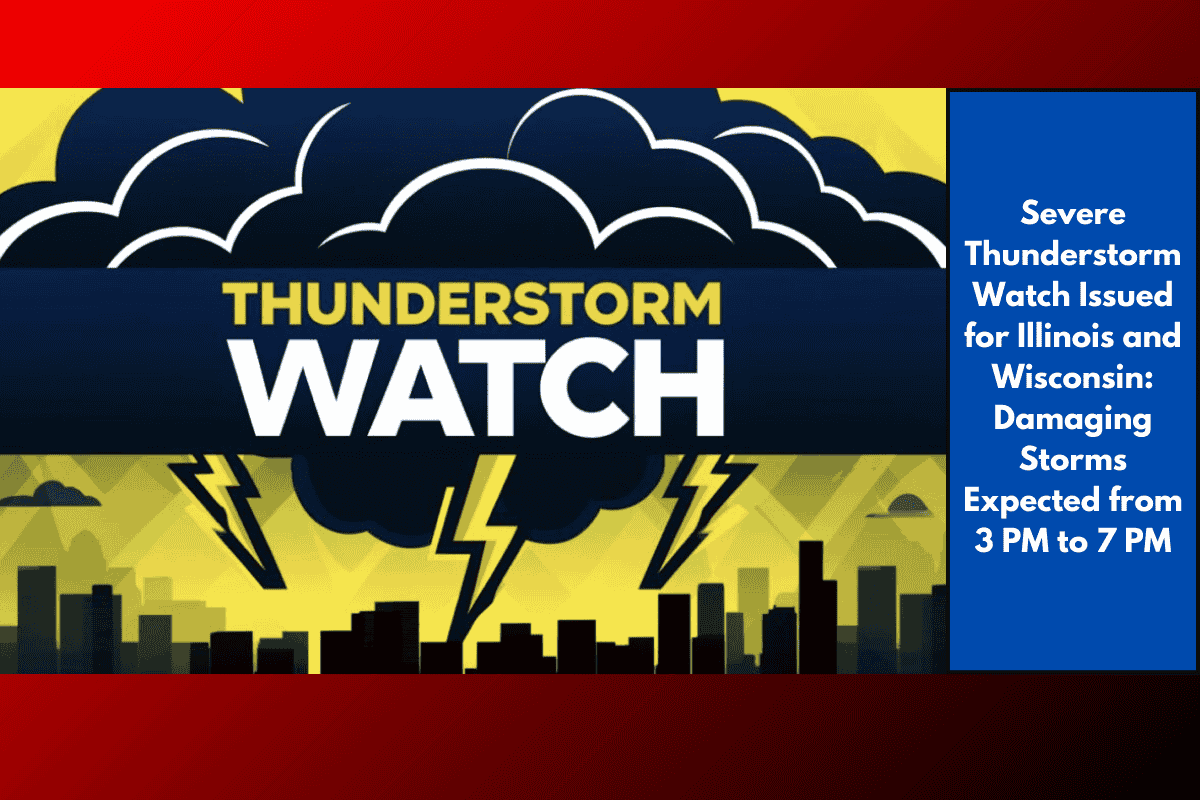
A Severe Thunderstorm Watch is in effect for northwestern Illinois and southwestern Wisconsin this afternoon, with the potential for damaging storms that could bring localized power outages, wind damage, and heavy rainfall.
Affected Areas:
Illinois: Carroll, Henry, Jo Daviess, Mercer, Rock Island, and Whiteside Counties
Wisconsin: Crawford and Grant Counties
Key Threats:
Wind gusts over 60 mph
Hail up to 1 inch in diameter
Flash flooding in low-lying and poorly drained areas, especially along the Mississippi River
Reduced visibility due to torrential downpours
Safety Recommendations:
Secure loose outdoor items to prevent them from being blown away.
Avoid unnecessary travel until the storm threat passes, especially in the Quad Cities and surrounding rural highways, where visibility may quickly deteriorate.
Monitor weather alerts closely for updates on the evolving storm.
Be aware of possible power disruptions in Davenport, Moline, and Freeport, where high winds and saturated ground may bring down trees or power lines.
Storm Timing:
3 PM to 7 PM: The worst of the storm activity is expected during this time. Conditions should improve after 7 PM, although scattered rain showers may linger into the evening. Stay alert for any additional warnings if conditions worsen.