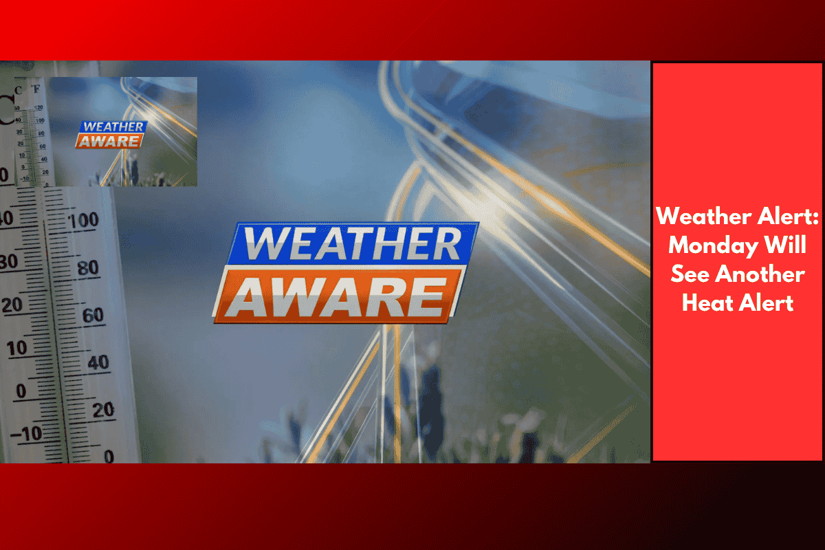
Savannah and surrounding areas will face another day of dangerous heat on Monday, as high temperatures in the upper 90s and heat indices exceeding 110°F continue to grip the region. This has led to the National Weather Service declaring Monday as a Weather Aware day for the Coastal Empire and Lowcountry, urging residents to stay cautious.
Unrelenting Heat and Heat Alerts
High temperatures have already pushed into the upper 90s in much of the area, with coastal locations feeling even hotter due to the high humidity. Tonight, temperatures will remain in the 80s, and by sunrise, it will feel like the 90s again.
An Extreme Heat Warning is in effect for Beaufort, Jasper, and Chatham counties, as well as coastal parts of Bryan, Liberty, and Chatham counties, lasting until 8 p.m. Monday. Meanwhile, a Heat Advisory is in place for other areas, except for Montgomery and Toombs counties, where the warnings change to an Extreme Heat Warning between 11 a.m. and 9 p.m. Monday, and a Heat Advisory will stay in effect for Toombs County.
Dangerous Conditions Expected
Actual temperatures across much of the area will again approach the 100°F mark, with heat indices climbing above 110°F. Some coastal areas could see heat indices near 115°F. This prolonged heat could be dangerous, and it is crucial to take precautions.
Staying Safe During Extreme Heat
As the intense heat persists, it’s advised to stay indoors as much as possible in a cool, air-conditioned environment. If you must go outside, be sure to stay well-hydrated, wear loose-fitting, lightweight, and reflective clothing, and watch for signs of heat-related illnesses such as dizziness, confusion, or nausea.
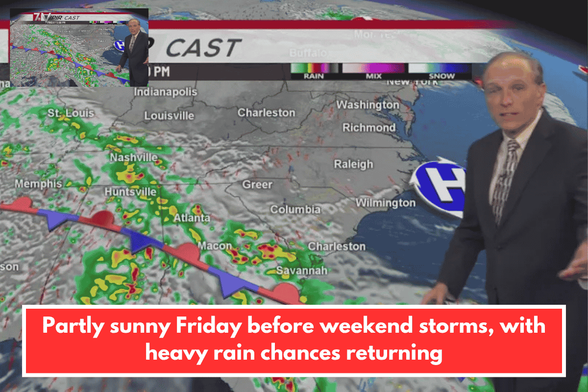
Although there is a chance for some stray storms on Monday, the primary concern remains the intense heat. Storms could lead to localized flooding from heavy rainfall, but temperatures will remain the major issue. The heat will begin to subside later in the week as a cold front moves in, providing some much-needed relief from the extreme summer conditions.
Looking Ahead to Relief
By the end of the week, temperatures will return to more average levels as the heat dome breaks down. While it’s too early to pinpoint exact timing, the cold front should bring cooler air and some relief from the intense heat that has dominated the region.