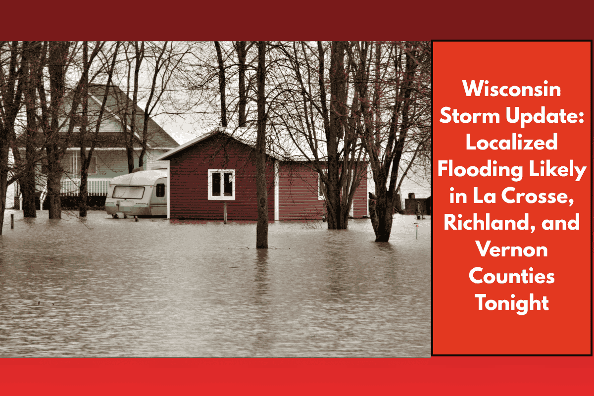
Western Wisconsin is preparing for possible urban and street flooding tonight into Saturday morning as heavy rain from multiple rounds of thunderstorms moves through the region. The National Weather Service in La Crosse has issued a Level 2 risk for excessive rainfall, with the greatest impact expected south of Interstate 90. Counties at the highest risk include La Crosse, Richland, Vernon, and Monroe. If the storms stall or retrace their paths, flooding could quickly become more widespread.
What to Expect:
Heavy rainfall is expected across the region, with cities such as Prairie du Chien, Viroqua, and Sparta seeing several inches of rain within a short period. The most vulnerable areas are those in low-lying spots or places with poor drainage systems. Urban and street flooding is highly likely, and flash flooding is a significant concern, especially in areas near creeks and streams that could overflow.
Safety Tips:
Motorists should avoid driving on flooded roads, especially during the night when visibility is poor. Remember the critical advice: “Turn Around, Don’t Drown.” Flash floods can develop quickly, and darkness can make it difficult to gauge the depth of the water. Stay alert for emergency alerts and keep track of the latest updates as conditions evolve overnight.
Forecast:
Rain is expected to continue through early Saturday afternoon, with an update anticipated by late morning. Depending on how the storms develop, additional flood advisories may be issued. Residents in affected areas should stay weather-aware and take all necessary precautions to stay safe during this stormy period.