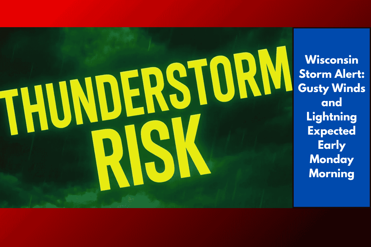
Wisconsin residents are being warned to prepare for early morning storms on Monday, which could bring strong wind gusts and lightning to several parts of the state. The storm system, although weakening, may still cause travel delays, power issues, and dangerous conditions between 4 a.m. and 9 a.m.
Where and When the Storm Will Hit
The National Weather Service in Milwaukee reports that storms are expected to move into Wisconsin overnight from Minnesota and Iowa. The highest risk areas include western and central Wisconsin, such as Eau Claire, La Crosse, Tomah, and Portage. If the system stays strong, it could affect cities further east like Madison, Green Bay, and Milwaukee by early morning.
Main Threats: Wind and Lightning
The main dangers from this storm are gusty winds and lightning. Some areas could experience brief power outages, tree branches falling, or even downed power lines. Lightning may also pose a risk to anyone outdoors during this time. The Storm Prediction Center has placed these regions under a “Slight Risk” zone, meaning that some storms could still be locally severe.
Possible Impact on Morning Travel
With the storm likely to hit during the early commute hours, people heading out between 4 and 9 a.m. should be extra careful. Wet roads, reduced visibility, and scattered debris like broken branches could slow down travel. Roads like I-94 and US-53 may be affected the most.
Advice from Local Officials
Emergency officials are advising everyone to take precautions on Sunday night. Charge your phones and devices in case of power loss, and bring inside or tie down anything outside that might blow away in the wind. It’s also a good idea to set weather alerts on your phone so you’re aware of any sudden changes overnight.
Storm Timeline and Conditions
The storm system is expected to start affecting western areas of Wisconsin around 4 a.m. and gradually move southeast. It should weaken and taper off between 8 and 10 a.m., though this timing may shift depending on how the storm behaves overnight. Keep checking local forecasts for updates, especially if you plan to be on the road during those hours.
Wisconsin could be in for a rough start to the week with early morning storms bringing gusty winds and lightning. While the system is weakening, it still has the potential to cause travel delays and minor power disruptions. Residents are urged to stay weather-aware, especially during Monday morning’s commute. Secure loose outdoor items, keep devices charged, and plan extra time if you’re heading out early.