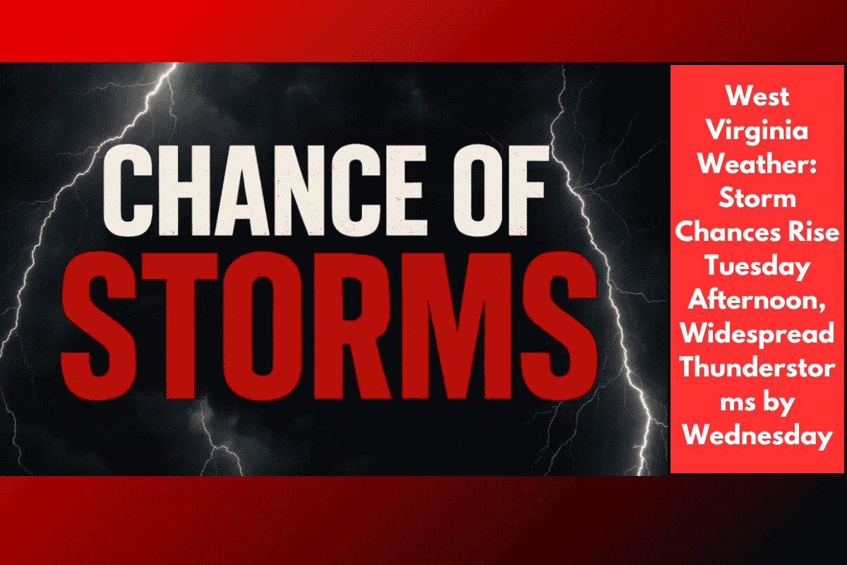
Charleston, W.Va. – West Virginia will experience a stretch of hot and humid weather on Tuesday, with highs reaching into the low 90s in many areas, including Charleston, Huntington, and Parkersburg. This heat will set the stage for afternoon and evening showers and thunderstorms.
Storm Outlook for Tuesday and Wednesday
The National Weather Service in Charleston forecasts storm chances to rise in the afternoon, ranging from 40% to 65% in southern and western parts of the state. Storm activity will become more widespread overnight into Wednesday, with rain chances over 60% in areas like Clarksburg, Logan, Beckley, and Grundy.
Hazards to Expect:
Lightning, heavy rain, and localized flooding are possible, particularly during the evening commute and overnight hours.
Motorists should be prepared for rapidly changing road conditions, including ponding on roads.
Residents should secure outdoor items and avoid traveling during heavy downpours.
The unsettled weather pattern will last into midweek, with storm chances gradually tapering off late Wednesday night. Additional advisories or weather statements may be issued if conditions worsen.
Five-Day Forecast for Charleston, WV:
Tuesday: High of 92°F, scattered PM thunderstorms, 40–50% chance of rain.
Wednesday: High of 89°F, widespread storms, 60–70% chance of rain.
Thursday: High of 87°F, isolated showers, 20% chance of rain.
Friday: High of 85°F, partly cloudy, dry.
Saturday: High of 84°F, mostly sunny.