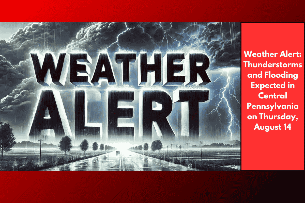
Central Pennsylvania, including Harrisburg, Cumberland, and Perry counties, will experience storms Thursday afternoon, starting after 3 PM. These storms are expected to bring heavy downpours, lightning, and the potential for localized flooding, especially during peak commute hours. The National Weather Service warns that rainfall could exceed half an inch in some areas, and isolated storms may cause strong gusts and poor drainage flooding. Drivers should plan for extra travel time and avoid flooded roadways.
Warm and Humid Conditions Before the Storms
Thursday’s high temperature will reach 85°F, with humid conditions ahead of the storms. However, conditions will rapidly clear overnight, providing a pleasant and dry stretch through the weekend.
Weekend Weather Outlook
From Friday through Sunday, central Pennsylvania will enjoy sunny skies, with temperatures in the mid-to-upper 80s and cooler nights in the upper 60s. This makes for an ideal setup for outdoor activities, as the weather is expected to remain calm.
Next Week’s Forecast
A slight chance of storms is expected next Tuesday, but the overall pattern suggests drier, calmer weather. Residents are encouraged to stay updated by checking weather apps or NOAA radios.
Five-Day Forecast: Mount Holly Springs, PA
Wednesday, August 13: Scattered thunderstorms (80%), high 87°F
Thursday, August 14: Storms likely after 3 PM (30%), high 85°F
Friday, August 15: Sunny, high 86°F, low 68°F
Saturday, August 16: Mostly sunny, high 86°F
Sunday, August 17: Mostly sunny, high 89°F