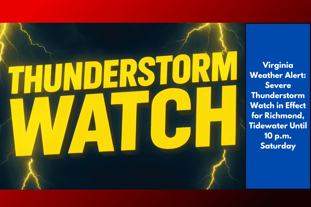
Virginia residents are under a Severe Thunderstorm Watch until 10 p.m. Saturday as strong storms, capable of producing damaging winds, large hail, and localized power outages, move through the region.
Areas Affected
The National Weather Service’s Storm Prediction Center has issued the watch for more than 60 counties and independent cities, including Richmond, Charlottesville, and Hampton Roads, extending from Albemarle to Virginia Beach. The primary threats include wind gusts exceeding 60 mph, hail up to 1 inch in diameter, and the risk of power outages due to downed trees and utility lines.
Risks and Precautions
Residents in Henrico, Chesterfield, Hanover, and nearby areas should closely monitor local weather alerts. Storms could rapidly intensify along major routes like I-64, I-95, and Route 460. Flash flooding is also a concern, especially in areas with poor drainage, such as urban regions like Norfolk and Petersburg.
Safety Recommendations
During active storms, emergency officials advise avoiding travel if possible, ensuring mobile devices are fully charged, and securing outdoor furniture or equipment. For those with evening plans, it’s important to stay weather-aware, as lightning, heavy rain, and scattered power outages could disrupt events.
Ongoing Monitoring
This Severe Thunderstorm Watch remains in effect until 10 p.m. Saturday, but additional warnings or new watches may be issued if the storms intensify or stall. Stay informed through local alerts, NOAA Weather Radio, or other reliable sources for the latest updates.
As severe storms move through Virginia, residents should be prepared for strong winds, hail, and possible power disruptions. Keeping up with local weather alerts and taking precautions will help ensure safety through the evening.