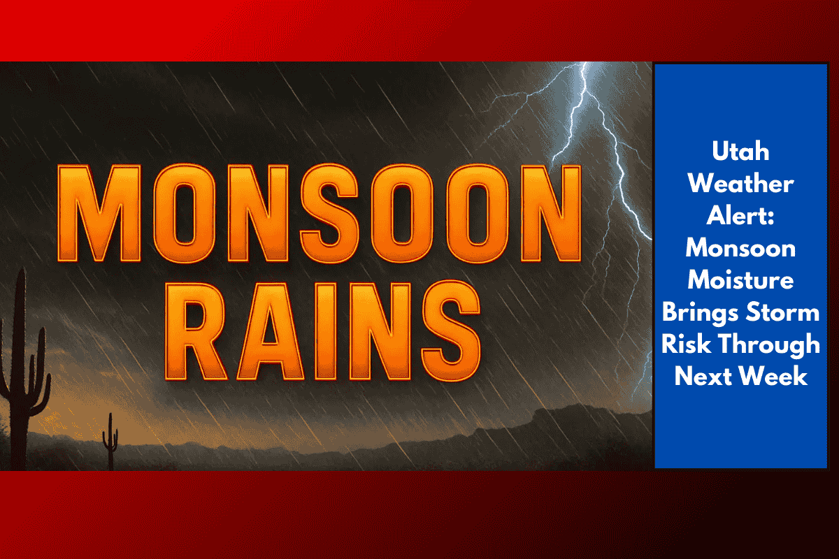
Salt Lake City, Utah – Monsoon moisture is set to return to Utah late this week, bringing a shift from hot, dry afternoons to stormier days, with cooler air expected to settle in by Sunday. The National Weather Service in Salt Lake City reports that this wet pattern could last into next week, with northern and central Utah experiencing above-normal rainfall.
According to the agency, daytime heat will continue through Saturday before the first wave of monsoon moisture arrives, increasing the risk of heavy downpours and localized flooding. The six- to ten-day outlook shows Utah as one of the most likely regions in the U.S. to receive above-average precipitation, especially along the Wasatch Front and southern mountains.
Travelers along I-15 and I-80 should be prepared for reduced visibility and slick roadways during afternoon storms. Emergency managers are also advising residents in flood-prone areas and recent burn scars to stay alert for flash flooding.
This unsettled weather pattern could bring repeated rounds of showers and thunderstorms into early next week, with additional advisories likely.