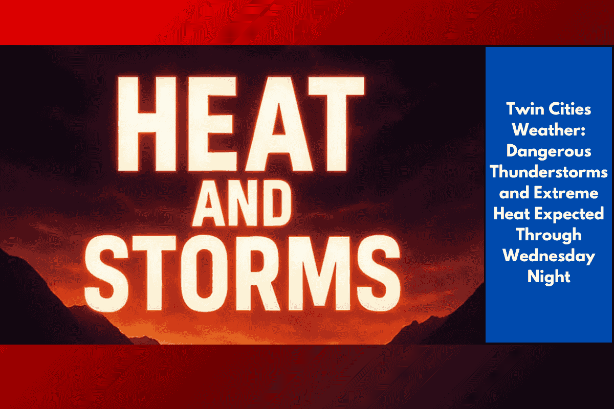
Severe thunderstorms and extreme heat are set to impact Minnesota this week, with dangerous conditions expected across much of the state through Wednesday night. The National Weather Service has issued warnings for both severe weather and heat advisories, urging residents to be prepared.
Thunderstorms and Damaging Weather
Strong thunderstorms, combined with hot and humid air, are expected to bring severe weather to the Twin Cities area, including Minneapolis, St. Paul, Rochester, and Mankato. The worst of the weather is predicted from Tuesday afternoon to Wednesday evening, with the potential for damaging winds, large hail, and heavy rainfall. Residents should be prepared for sudden weather changes and monitor local updates closely.
Dangerous Heat Across the Region
In addition to the storms, extreme heat will also be a concern. Heat advisories have been issued for central and southern Minnesota, where the heat index is forecast to exceed 100°F on Tuesday. Cities like Marshall, Albert Lea, and Red Wing are especially at risk for heat stress, with the Twin Cities seeing “feels-like” temperatures reaching 105°F. The National Weather Service warns that this intense heat could pose serious risks, particularly for those without access to air conditioning or other cooling methods.
Safety Tips and Travel Alerts
Residents are urged to limit outdoor activities, stay hydrated, and ensure their mobile devices are fully charged in case of power outages. Drivers should be cautious of sudden road hazards caused by fallen tree limbs or flooded streets, especially along I-94 and Highway 52.
Ongoing Alerts and Updates
Severe weather watches are in effect statewide through Wednesday, and additional warnings may be issued if storms intensify. It’s important to stay updated with the latest local weather information for potential alerts and changes in conditions.