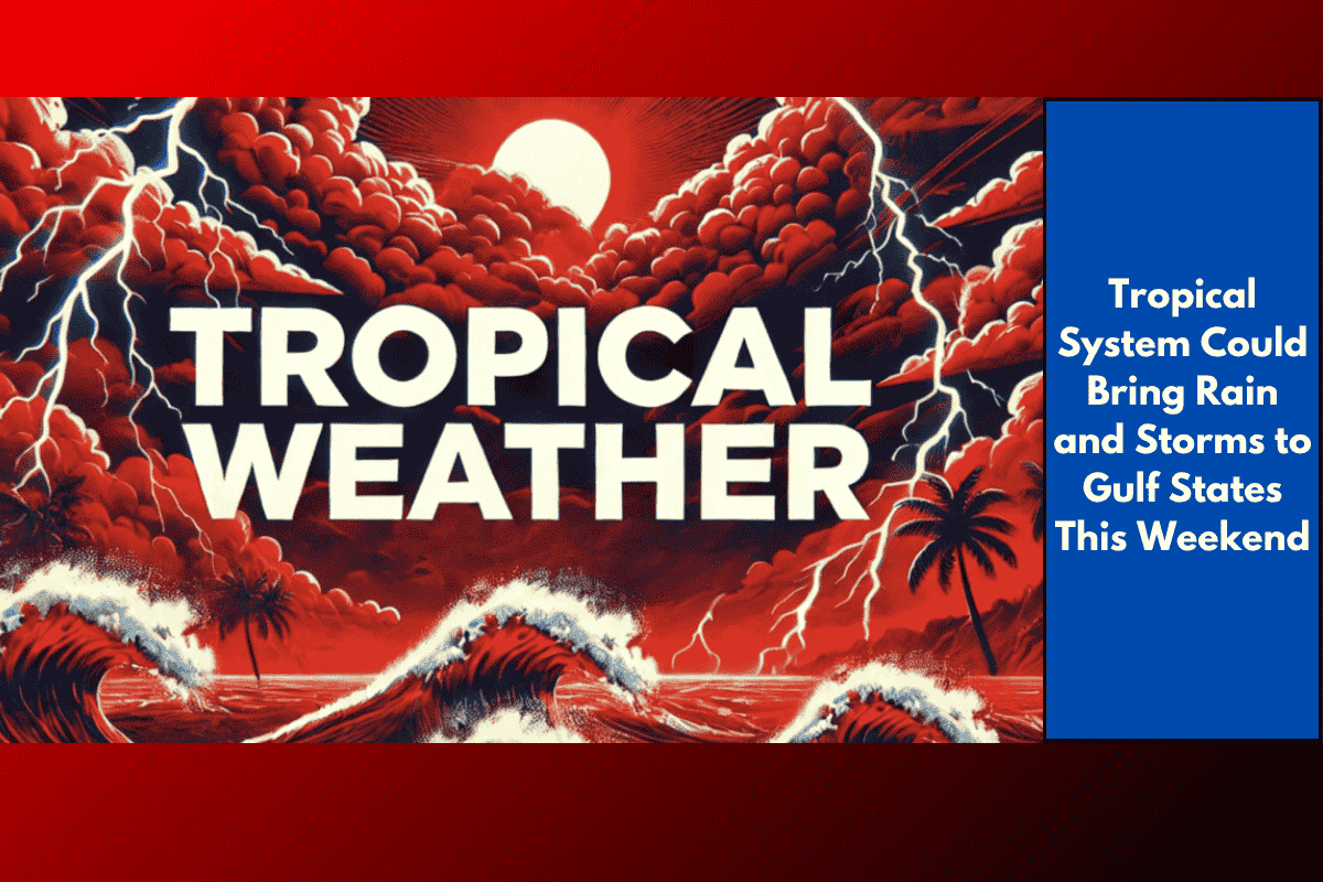
A weak tropical disturbance in the northern Gulf of Mexico is stirring up concerns for late-week rain and storms across southeast Texas, including cities like Houston. While the National Weather Service in Houston notes that the system has only a 10% chance of developing into a full tropical storm over the next week, it could still bring heavy rain and thunderstorms to the region as it moves westward.
Rain and Storms Likely in Southeast Texas
Meteorologists are keeping a close eye on the disturbance, although it’s too early to predict exactly how strong it will get or what areas will be hit the hardest. Despite the low chance of full tropical development, the system could still enhance rainfall across coastal areas like Galveston, Beaumont, and Lake Jackson, as well as inland areas such as Conroe and College Station. The rain is expected to start late Thursday and continue through the weekend.
Impact on Driving Conditions
For drivers in the affected areas, it’s important to be aware of the changing conditions. As the system brings rain, the roads will become slippery, and visibility could be reduced, especially during the evening hours on Friday and Saturday. Drivers should stay cautious and be ready for possible delays or difficult driving conditions.
Staying Prepared
Though it’s still uncertain how the disturbance will evolve, experts advise residents to stay updated with the latest weather information from the National Weather Service (NWS) Houston and the National Hurricane Center. If the system strengthens, it could have stronger impacts along the Texas coast. Staying informed will help everyone stay safe and prepared for any sudden changes in the weather.
As the weekend approaches, the situation will become clearer, but for now, it’s best to stay alert and plan accordingly.