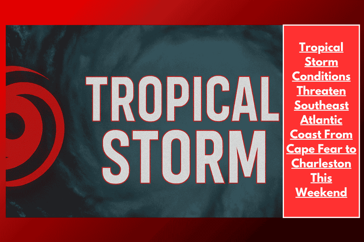
Tropical Storm-force winds and hazardous marine conditions are expected to affect the Southeast Atlantic Coast from Cape Fear, North Carolina, to Charleston, South Carolina, through Sunday as Tropical Depression Three continues its northward push toward the shoreline. Coastal areas are urged to prepare for rough seas, gusty winds, and storm surge flooding.
Tropical Storm Warning and Watch
Tropical Storm Warning: In effect for offshore waters south of Cape Fear. Winds could reach 35 knots with seas building to 11 feet by Saturday night.
Tropical Storm Watch: Issued from Edisto Beach to Charleston Harbor. Gusts up to 40 mph and seas rising to 7 feet are expected by late Saturday.
Coastal Impact and Storm Surge
Coastal areas, including Charleston, Edisto Island, and McClellanville, are at risk for storm surge flooding of up to 2 feet above ground, particularly during high tide on Saturday evening. While inland wind impacts are expected to be limited, loose objects and tree limbs could pose a threat to safety.
Marine Conditions
Marine conditions will be most hazardous from Saturday through early Sunday, with widespread thunderstorms, squalls, and rapidly changing sea states. Mariners are urged to remain in port, secure vessels, and monitor updates from the National Hurricane Center for the latest developments.
As Tropical Depression Three moves closer to the coast, coastal residents from Cape Fear to Charleston should prepare for tropical storm-force winds, hazardous marine conditions, and storm surge flooding. Pay attention to the Tropical Storm Warning and Watch, and stay updated on any changes to the forecast.