Residents of Gaylord and surrounding parts of northern Michigan should brace for a sudden shift in the weather. After a warm stretch, thunderstorms are expected late tonight, followed by a sharp drop in temperatures through the weekend and into next week.
Thunderstorms Arriving Late Tonight
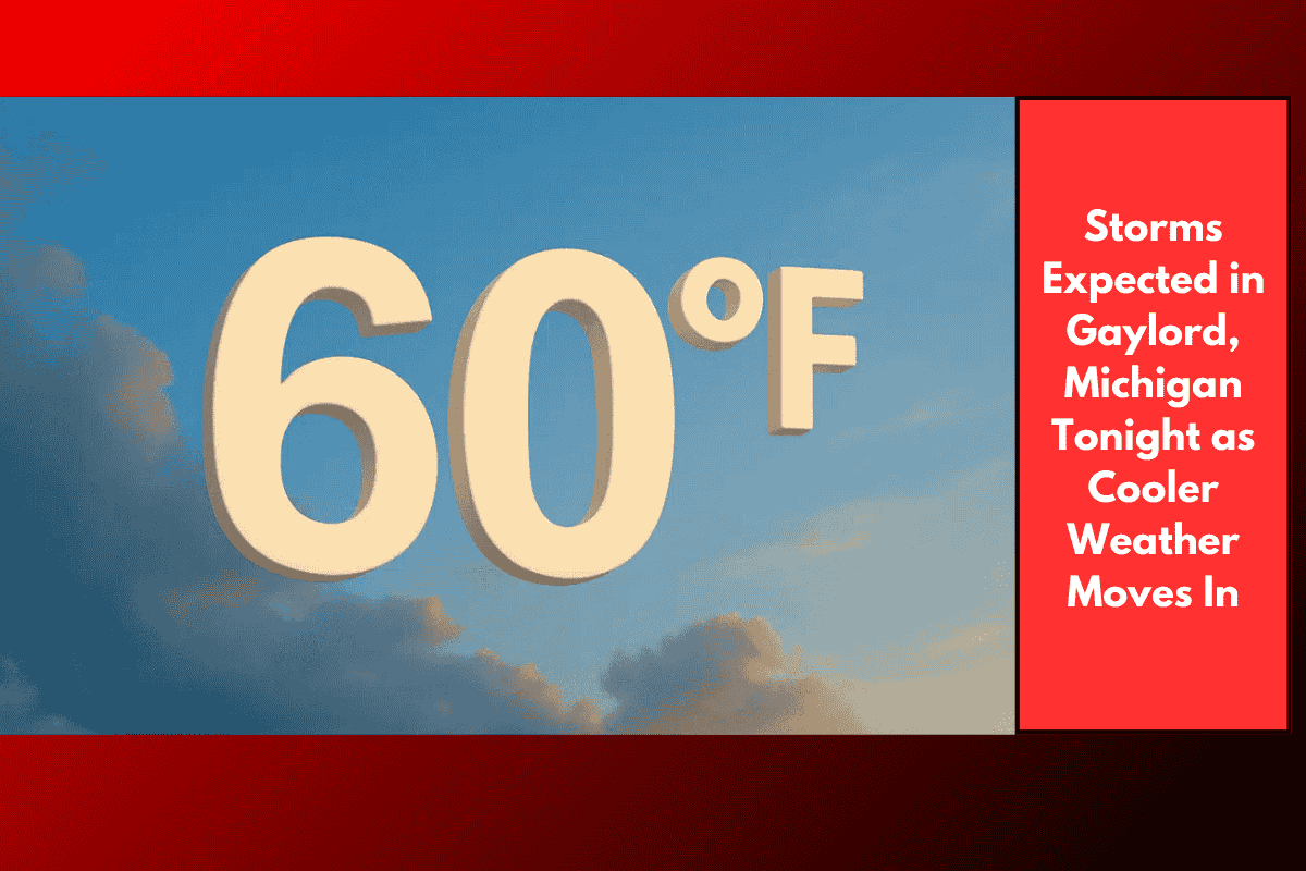
According to the National Weather Service in Gaylord, a cold front is moving south through Michigan and will bring showers and isolated thunderstorms overnight. These storms are expected to start in eastern Upper Michigan before drifting down into northern Lower Michigan, including Gaylord and the Tip of the Mitt.
If you’re planning to travel late tonight or early Saturday, keep in mind:
Wet roads may lead to slippery driving conditions
Visibility could be reduced during heavy rain
Storms may bring brief but intense downpours
Main routes like I-75, M-32, and US-131 could be affected, so drivers are advised to slow down and be cautious.
Cooler Temperatures Starting Sunday
Once the front passes, the weather will take a cooler turn. Daytime highs that were recently in the 70s and 80s will drop into the 60s by Sunday, with nighttime lows falling into the 40s and 50s.
Here’s how the temperature trend looks for the next few days:
| Day | Weather | Highs (°F) | Lows (°F) |
|---|---|---|---|
| Saturday | Showers and possible storms | 71–82 | 50–60 |
| Sunday | Cooler with scattered showers | 64–74 | 46–54 |
| Monday | Breezy and chilly | 57–67 | 43–53 |
| Tuesday | Cloudy with light rain | Mid-60s | — |
| Wednesday | Mostly cloudy, spotty showers | Upper 60s | — |
What to Expect Early Next Week
By Monday, chilly winds will move in, making it feel even cooler. Rain showers are expected to continue into Tuesday, with the overall pattern remaining cloudy and damp. While heavy rain is not expected to be widespread after Saturday, spotty showers could pop up at any time through midweek.
The combination of brisk winds, damp conditions, and below-average temperatures could make it feel more like early October than late August.
Safety Tips for Residents
Carry rain gear if you’re heading out this weekend
Avoid unnecessary travel during heavy rainfall
Secure outdoor furniture and decor ahead of Monday’s winds
Stay updated on local advisories in case stronger storms develop
While this shift brings a much-needed break from the heat, it’s also a reminder that fall isn’t too far away.
A chilly, wet pattern is setting up across Gaylord and northern Michigan as a cold front sweeps through the region. Starting tonight with thunderstorms and continuing into early next week, residents can expect cooler temperatures, scattered showers, and gusty winds. It’s a good weekend to slow down, stay dry, and keep an eye on the sky.