Central Illinois residents are feeling the brunt of hot and stormy weather as a mix of high humidity and thunderstorm activity hits the region. From Springfield to Peoria, the National Weather Service is warning of heat-related health risks, scattered storms, and difficult travel conditions through Thursday evening. While temperatures will stay high for now, cooler and drier air is expected by the weekend.
Dangerous Heat and Storms on Wednesday
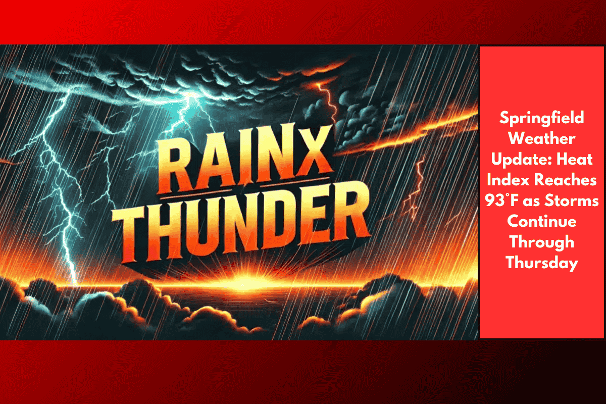
Wednesday is bringing some of the toughest weather of the week. Temperatures are expected to hit 93°F, but the real issue is the heat index, which makes it feel even hotter due to high humidity. With a 60% chance of thunderstorms, there’s also a risk of lightning, strong winds, and sudden downpours. Storms may cause localized flooding and power outages, especially in areas with poor drainage or older electrical infrastructure.
Areas Most Affected
The heat and storms are affecting Sangamon, Macon, and McLean counties, along with nearby areas. If you’re driving along I-55 or I-72, expect changing weather conditions and possible delays. Officials are asking everyone to limit outdoor activity, drink plenty of water, and stay indoors during peak afternoon hours.
What to Expect Through Thursday
Storms will linger through Thursday morning, though chances will decrease to about 40% by evening. Temperatures will still feel humid and uncomfortable, with highs between 75–80°F. It’s important to remain cautious until the storm system fully clears out.
Cooler, Drier Weather Ahead
The good news is that relief is coming. By Friday, much cooler air will sweep into Central Illinois. Highs will drop to the upper 70s, and sunny skies will return. The weekend looks calm and pleasant, giving everyone a break from the heat and humidity.
Stay Prepared and Safe
As the storms pass through, it’s wise to keep phones charged, avoid flooded roads, and monitor local weather updates. Flash flooding can happen quickly during heavy rain, especially in urban or low-lying areas. Don’t take risks while driving—if you see water on the road, turn around and find a safer route.
Five-Day Central Illinois Weather Forecast
Tonight: Humid with increasing clouds. Lows between 72–75°F
Wednesday: Dangerous heat with scattered showers and storms. Highs between 83–93°F, lows 63–72°F
Rain Chance: 60%
Thursday: Thunder possible early, mostly cloudy later. Highs 75–80°F, lows 57–66°F
Rain Chance: 40%
Friday: Sunny and cooler. Highs 75–80°F, lows 50–60°F
Saturday: Mostly sunny and comfortable. Highs 76–81°F, lows 55–61°F
Sunday: Mostly sunny. Highs 77–83°F, lows 61–67°F
Monday: Partly sunny with isolated storms possible. Highs 80–85°F
Rain Chance: 20%
Central Illinois is in for a few more days of hot and stormy weather before cooler air takes over. The heat index of 93°F and ongoing storms pose real risks, so it’s important to stay alert and take precautions. By Friday, sunny and much more comfortable weather is expected to move in, making the weekend ideal for outdoor activities.