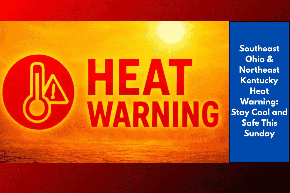
A dangerous wave of heat is expected to hit southeast Ohio, northeast Kentucky, and parts of West Virginia on Sunday, with feels-like temperatures reaching up to 103°F. The National Weather Service in Charleston has issued a heat advisory from 11 a.m. to 7 p.m., warning residents across the Tri-State area to take precautions against heat-related illnesses.
Regions Under the Heat Advisory
The advisory affects both urban and rural communities, including:
West Virginia: Charleston, Huntington, Point Pleasant, Kanawha, Putnam, Cabell, and Jackson counties
Ohio: Gallia and Lawrence counties
Kentucky: Boyd and Greenup counties
In these lowland areas, the heat index — which combines temperature and humidity — will make it feel like 100–103°F, especially in the early to mid-afternoon hours.
Health Risks in Extreme Heat
Heat like this can be more than just uncomfortable. Without proper care, it can lead to heat exhaustion or even heatstroke, especially in vulnerable groups such as:
Children and infants
Senior citizens
People with medical conditions
Outdoor workers
How to Stay Safe on Sunday
To protect yourself and others during the hottest part of the day:
Stay indoors between 11 a.m. and 7 p.m. when possible
Drink plenty of water, even if you’re not thirsty
Avoid alcohol and caffeine, which can lead to dehydration
Wear light-coloured, loose-fitting clothing
Take frequent breaks if working outdoors
Use fans and air conditioning, or visit a cooling center if your home isn’t air-conditioned
Never leave kids or pets inside parked cars, even for a few minutes
Cooling Centers and Emergency Response
Some local counties will open cooling centers for people needing relief from the heat. Emergency services are also closely monitoring power usage, as increased air conditioning demand may put pressure on the grid.
Looking Ahead: Heat Continues
Although the heat advisory ends Sunday night, temperatures are expected to remain high into early next week. That means Monday and Tuesday could also bring hot and humid conditions, even if they don’t reach advisory levels.
Quick Weather Snapshot:
| Day | Temperature | Heat Index | Advisory Period |
|---|---|---|---|
| Sunday | 95°F | Up to 103°F | 11 a.m. – 7 p.m. |
| Monday | 90–92°F | Around 97°F | No advisory yet |
| Tuesday | Upper 80s | High humidity | — |
With extreme heat expected Sunday across southeast Ohio, northeast Kentucky, and western West Virginia, it’s important to take steps now to protect yourself and others. Avoid the sun during peak hours, drink lots of water, and check in on neighbors who may need help staying cool. The advisory will lift by evening, but the heat is far from over — so continue to stay weather-aware into next week.