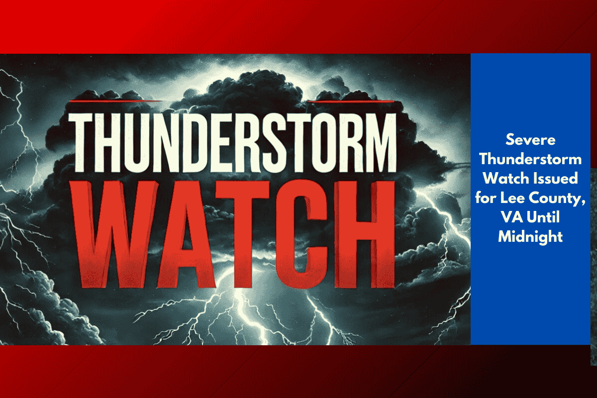
Pennington Gap, VA – A Severe Thunderstorm Watch is in effect for Lee County until 12 a.m. Saturday, with the potential for damaging winds, hail, and frequent lightning, according to the National Weather Service Storm Prediction Center.
What to Expect
Forecasters say clusters of storms are likely to intensify Friday evening as unstable air continues to build across Southwest Virginia. The most severe storms may bring:
Wind gusts over 60 mph
Quarter-size hail
Heavy downpours
Frequent lightning strikes
Travel and Power Outage Concerns
Local emergency officials have warned that travel could become dangerous, particularly along U.S. Highway 58, where downed trees or power lines may create hazardous driving conditions. Power outages are a major concern, especially in rural areas near Pennington Gap and Jonesville, where service restoration may take longer.
Safety Tips for Residents
Residents are urged to take the following precautions:
Secure outdoor items such as patio furniture and trash bins
Avoid driving during intense storms or heavy rainfall
Stay indoors at the first sign of thunder or lightning
Charge phones and devices ahead of time in case of outages
Monitor local alerts in case additional warnings are issued
When Will It End?
The worst of the storm activity is expected to subside after midnight, but scattered showers could continue into early Saturday morning. The National Weather Service may issue further advisories if conditions worsen.