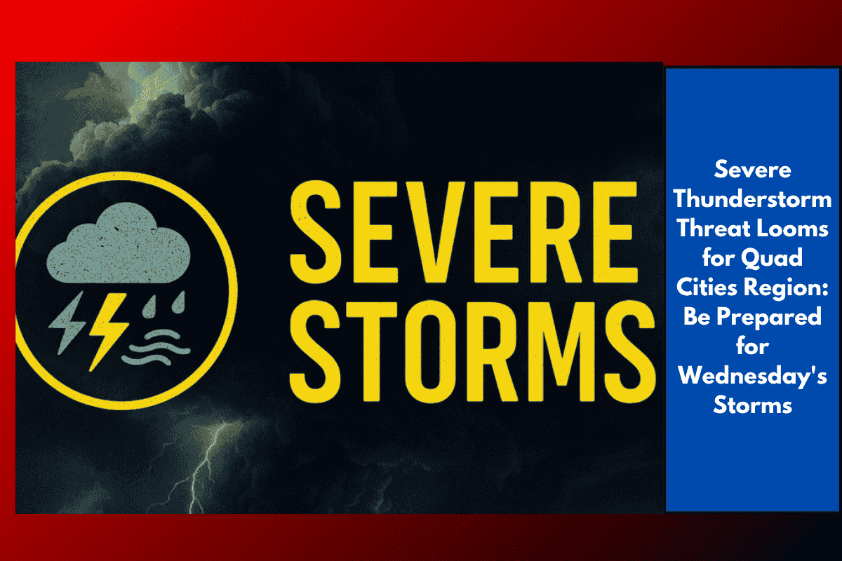
Davenport, Iowa – The Quad Cities region, including Davenport, Rock Island, Moline, and Muscatine, is bracing for warm and humid conditions overnight, with temperatures hovering between 67°F and 72°F. While the night will remain mostly cloudy, there’s a slight chance of isolated showers or storms southeast of the metro area. However, the real storm threat is set to increase dramatically on Wednesday.
Strong to Severe Thunderstorms Expected Wednesday Afternoon and Evening
According to the National Weather Service Quad Cities office, strong to severe thunderstorms are expected to develop across eastern Iowa and northwest Illinois on Wednesday. The storms will likely begin in the afternoon and continue into the evening. High temperatures will reach 83°F to 90°F, creating an unstable atmosphere that could fuel the storms. The primary concerns include:
Gusty winds up to 60 mph or higher
Heavy rainfall leading to localized flooding
Potential road hazards, especially in low-lying areas and along the Mississippi River corridor
Safety Tips and Precautions
Residents across the Quad Cities are urged to stay alert and take the following precautions:
Review severe weather plans and know where to take shelter in case of a tornado warning.
Avoid outdoor activities during active warnings, especially in areas prone to flooding.
Charge cell phones in case of power outages and keep them on hand to receive weather alerts.
Monitor road conditions, as I-74, US-61, and local rural roads may experience hazardous driving conditions. Watch for potential road closures due to flooding or downed trees.
Utilities in the area may experience brief outages due to strong winds or lightning. Be prepared for these disruptions, especially if you’re in a storm-affected area.
Weather Improvements Expected Thursday
The severe weather threat will decrease by Thursday, with temperatures dropping into the 70s and drier air moving into the region. The storm system will shift eastward, allowing for more comfortable conditions as the week progresses.
Stay Tuned for More Updates
The National Weather Service will continue to provide updates on the storm development throughout Wednesday, and additional weather advisories may be issued if conditions worsen. Stay tuned to local weather sources and be ready to take action if necessary.