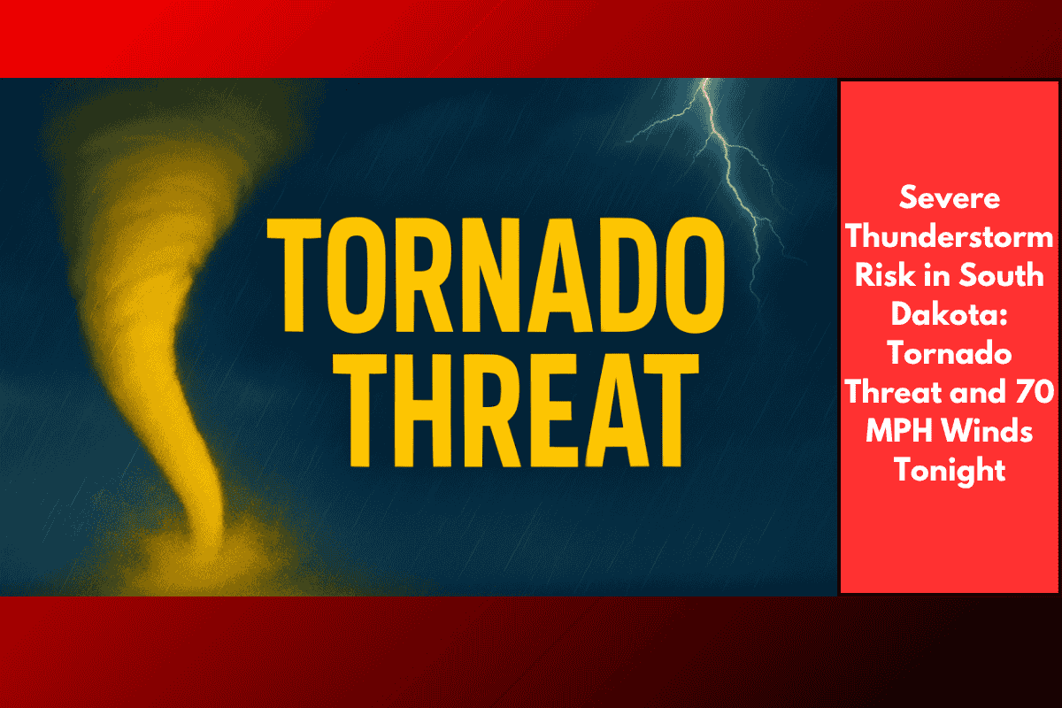
Sioux Falls, South Dakota – A severe weather system is set to impact southeast South Dakota late Tuesday night, bringing damaging winds up to 70 mph, along with a risk of tornadoes and quarter-sized hail. The National Weather Service in Sioux Falls has issued warnings as strong thunderstorms move through the region, with the threat lasting from 9 p.m. Tuesday to 3 a.m. Wednesday.
Areas Affected and Primary Threats
The storms are expected to hit hardest in areas west of US Highway 81, including Yankton, Mitchell, and areas along and west of I-29, where there is a Level 2 “Slight Risk” of severe weather. The primary threat is wind damage, but there is also a risk of brief tornadoes, heavy rainfall, and quarter-sized hail. Wind gusts up to 70 mph are possible, which could lead to scattered tree damage, power outages, and dangerous travel conditions overnight.
Timeline and Additional Risks
Thunderstorm activity is expected to peak between 9 p.m. Tuesday and 3 a.m. Wednesday, with weakening expected as the system moves east. However, isolated gusts near 60 mph may continue into the early hours of Wednesday. Severe weather watches may be issued if the system slows or new threats arise, so residents should stay vigilant throughout the night.
Safety Precautions
Residents are urged to:
Avoid unnecessary travel during the storm, especially between 9 p.m. and 3 a.m..
Charge devices ahead of time and ensure access to multiple ways of receiving weather alerts (such as a weather radio or phone app).
Be prepared for power outages and downed trees that could impact roads and homes.
The severe thunderstorm risk in southeast South Dakota is significant, with a potential for wind damage, tornadoes, and hail. Stay informed about the weather conditions, and take appropriate precautions to stay safe during the overnight hours.