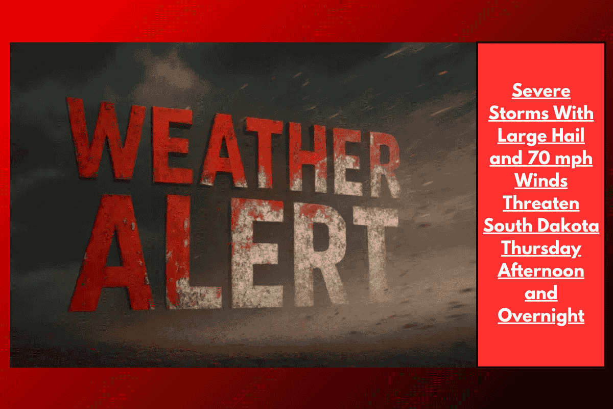
Sioux Falls, S.D. – Severe storms are expected to hit central and eastern South Dakota starting Thursday afternoon and continuing overnight. The storms could bring 70 mph wind gusts, large hail (up to 2 inches in diameter), and heavy rain that may cause flooding along and south of I-90 through Friday morning.
What to Expect
The National Weather Service in Sioux Falls warns that storms are likely to form Thursday afternoon and move east, impacting areas like Chamberlain, Mitchell, and Sioux Falls. The highest risk will be south of I-90, where the storms could cause damaging winds, very large hail, and rainfall strong enough to cause flash flooding.
The air is holding unusually high moisture, which increases the risk of flooding in these areas. Though the exact storm path is still uncertain, regions from Winner, Platte, and east toward Brookings and the I-29 corridor are at the greatest risk.
Potential Hazards
Travel Hazards: Heavy rainfall may cause low visibility and water pooling on roads, making driving dangerous. Avoid driving through flooded areas.
Power Outages & Damage: Some of the strongest storms may bring downed trees and power outages.
Stay Prepared
Be sure to have multiple ways to receive weather warnings.
Stay off the roads if conditions worsen and avoid flooded areas.
The storm chances will continue into early Friday, and further weather alerts may be issued. Keep an eye on updates as this weather system develops.