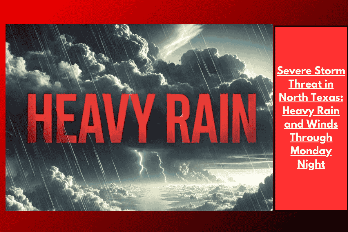
Residents across North and Central Texas are preparing for a stormy Monday, with scattered showers and thunderstorms expected to continue throughout the day. The most significant storm activity is predicted along and east of the I-35 corridor, where heavy rain, gusty winds, and localized flooding could cause disruptions.
Heavy Rain and Flooding Threat
The National Weather Service issued an advisory on Sunday evening, warning that areas east of I-35 will experience periods of heavy rain and potential minor flooding. Although some places may miss the rain entirely, brief but intense downpours are expected, especially in cities like Dallas, Fort Worth, Sherman, and Paris. Other areas, such as Waco and Killeen, may see more isolated storms.
Hazards to Watch Out For
Along with heavy rain, the storm system will bring gusty winds and frequent lightning. Drivers, especially those on the roads during the storm, should be prepared for reduced visibility and the risk of ponding water on the roads. It is important to take extra caution when traveling in storm-affected regions.
What You Need to Do
Residents are advised to secure loose outdoor items and prepare for sudden weather changes. Those with outdoor plans should either have a backup strategy or consider rescheduling their activities. The storm threat is expected to decrease as the night progresses, moving from west to east.
Stay Updated
Warnings are in effect through Monday, and it’s crucial to stay informed about local weather updates and advisories. Keep an eye on any changes in the forecast, especially if traveling within the storm-affected areas.