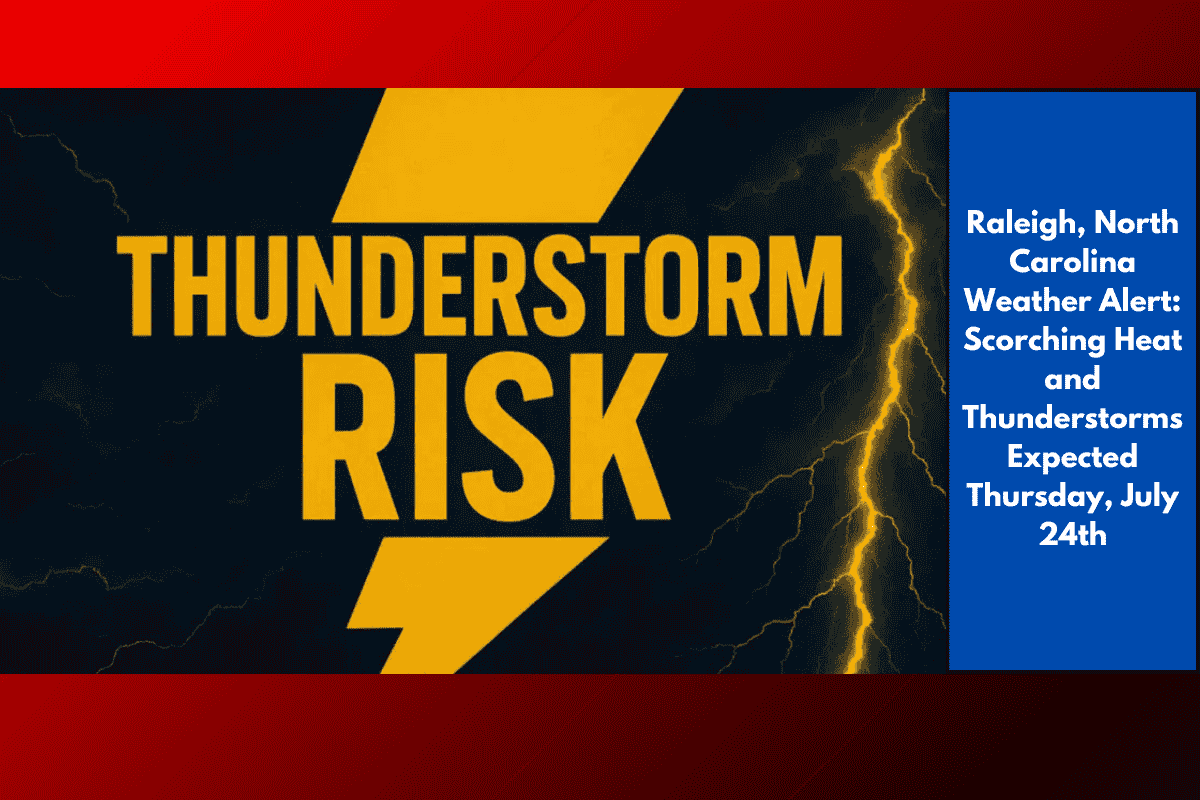
Raleigh, North Carolina – A punishing stretch of summer heat returns to central North Carolina this Thursday, July 24th, as Raleigh-area residents brace for rapidly rising temperatures and a chance of afternoon thunderstorms. With high temperatures reaching 91°F and humidity surging, the National Weather Service is urging everyone to limit outdoor activities, stay hydrated, and keep a close eye on vulnerable neighbors.
According to the latest outlook from the National Weather Service in Raleigh, skies will be mostly sunny in the morning before clouds begin to build in the afternoon. Isolated thunderstorms are expected to develop after 2 p.m., with a 20% chance of rain. While the chance of storms is low, any storm that forms could bring brief, heavy rain and lightning—especially in busy areas like I-40 and I-440.
Friday and Weekend Heatwave Ahead
Friday marks the beginning of a prolonged heatwave, with sunny skies and a high near 96°F in Raleigh and surrounding Wake County. This intense heat raises the risk of heat-related illnesses, and overnight lows in the mid-70s will offer little relief.
By Saturday and Sunday, temperatures will continue to climb into the mid-to-upper 90s, and some areas could see the heat index approach 100°F.
Health Safety Tips:
Limit strenuous outdoor activities, particularly during the afternoon when the heat will be at its peak.
Check on elderly relatives and neighbors to ensure they stay cool and hydrated.
Never leave children or pets in vehicles, as temperatures inside a car can quickly become deadly.
Drink water frequently and stay in air-conditioned spaces when possible.
Five-Day Weather Outlook for Raleigh (July 24th – July 28th):
Thursday, July 24: Mostly sunny, high 91°F. Slight chance of afternoon thunderstorms.
Friday, July 25: Sunny, high 96°F. Overnight low 78°F.
Saturday, July 26: Hot and sunny, high 99°F. Night low 78°F.
Sunday, July 27: Sunny and hot, high 98°F. Night low 77°F.
Monday, July 28: Continued heat, sunny, high 96°F. Night low 76°F.
What to Expect:
The heat will persist through the weekend and into next week. While brief relief comes at night with partly cloudy skies, the intense daytime heat will return each day.
Keep an eye on weather updates and be prepared for more potential advisories as this summer heat pattern continues.