Tonight (Sunday Night)
Expect partly cloudy skies with lows ranging from 51–58°F.
Monday
The weather will be partly sunny, with highs reaching between 75–80°F across the region.
Tuesday
A sunny day is expected, with temperatures topping out in the low 80s (77–82°F).
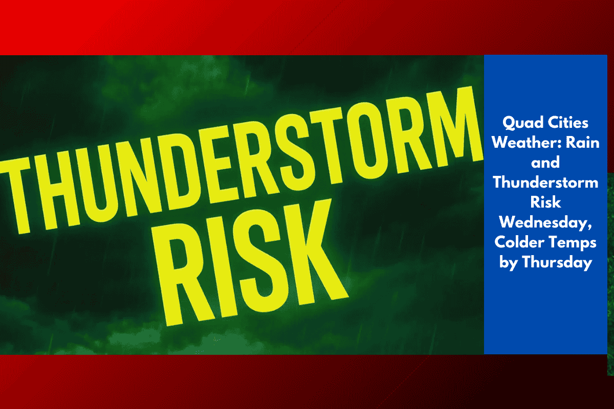
Wednesday
A strong cold front will bring a 50–70% chance of scattered showers and thunderstorms, with highs ranging from the upper 60s in eastern Iowa to the upper 70s in western Illinois. Slick roads and reduced visibility are possible along I-80 and I-74. Be prepared for a rapid temperature drop once the front passes.
Thursday
Cooler weather will arrive with highs only in the lower to mid-60s, accompanied by a cool breeze that will make it feel like early fall.
Friday
Expect mostly sunny conditions with highs ranging from the mid-60s to near 70°F.
Stay prepared for possible disruptions due to storms on Wednesday, and keep your phone charged in case of changing weather conditions!