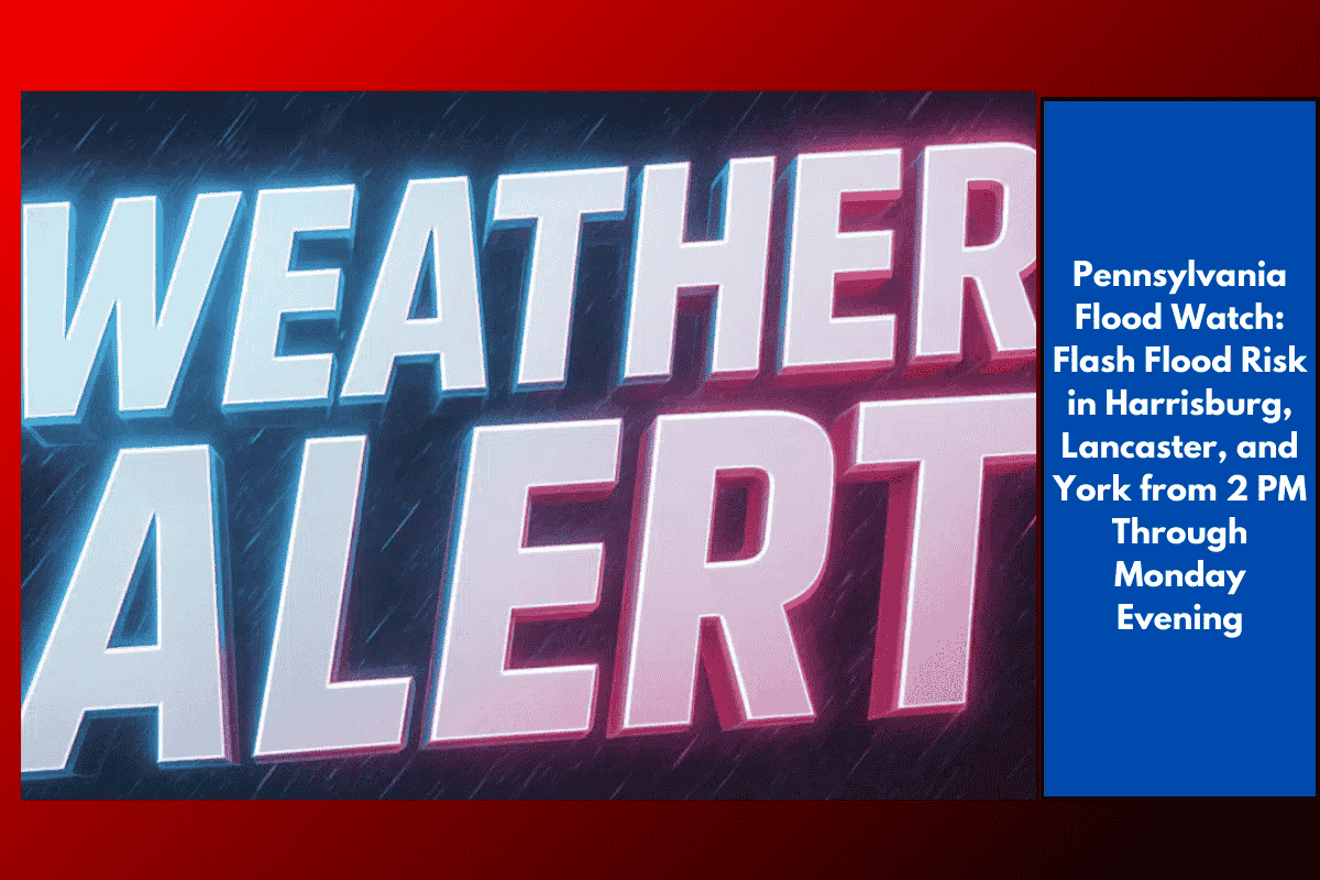
Harrisburg, Pa. – Heavy rain and flash flooding are expected to affect parts of central Pennsylvania Monday afternoon, prompting a Flood Watch for Harrisburg, Lancaster, and York. The alert is in effect from 2 p.m. through this evening, as multiple rounds of slow-moving thunderstorms bring intense rainfall to the area.
Affected Areas and Potential Risks
According to the National Weather Service in State College, the Flood Watch covers Adams, Cumberland, Dauphin, Franklin, Lancaster, Lebanon, Perry, Schuylkill, and York counties. These areas are at risk of flash flooding due to the possibility of heavy rain, particularly over areas that are already saturated from prior rainfall.
City streets in Harrisburg and Lancaster, along with low-lying roads like Route 283 and parts of I-83, could flood quickly. Urban neighborhoods and areas with poor drainage are especially vulnerable to fast-rising water, which could result in street flooding and basement flooding.
Residents in areas like Newport, Gettysburg, and Pottsville are advised to avoid driving through water and to move vehicles out of flood-prone areas to reduce the risk of being trapped or having their vehicles damaged.
Key Safety Recommendations
Avoid driving through standing water: Never attempt to drive through water-covered roads. Roads may be washed out, and vehicles can become easily trapped in floodwaters. Local authorities urge drivers to avoid driving around barricades and to stay off flooded roads.
Flash flooding risk near creeks and streams: People living near creeks or streams should be prepared for rapid rises in water levels, and possible evacuations if conditions worsen. Monitor alerts and stay tuned for any updates.
Emergency preparedness: Keep phones charged in case of power outages and have emergency supplies ready. Be prepared to act quickly in case of evacuation orders or further developments in the storm.
Continued Monitoring and Alerts
The Flood Watch will remain in effect until late Monday night, and there is a possibility that more alerts or warnings could be issued as additional storms develop throughout the day. Stay informed by following local weather updates and official warnings for the latest information.